
98 Bus Route Map
View the 98 route map and see all 98 stops along the route. The map of 98 shows where the bus travels and the location of each stop, making it easy to understand the entire route at a glance.
Explore VGF Fulda routes on the map and see where VGF Fulda bus services operate. Use the 98 map to find bus stops and see how the 98 connects different areas along its trip.
All 98 stops on the map are displayed in route order, helping you follow the 98 bus from the first stop to the last.
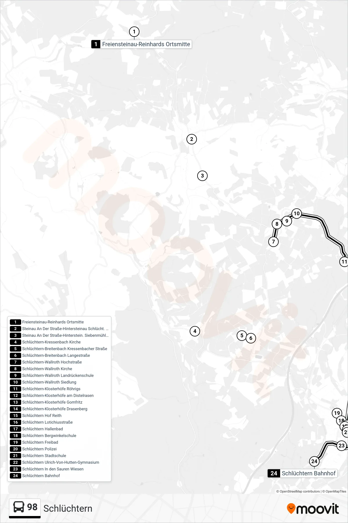
Stops list (98 - Schlüchtern)
- Freiensteinau-Reinhards Ortsmitte
- Steinau An Der Straße-Hintersteinau Schlücht. Str.
- Steinau An Der Straße-Hinterstein. Siebenmühlental
- Schlüchtern-Kressenbach Kirche
- Schlüchtern-Breitenbach Kressenbacher Straße
- Schlüchtern-Breitenbach Langestraße
- Schlüchtern-Wallroth Hochstraße
- Schlüchtern-Wallroth Kirche
- Schlüchtern-Wallroth Landrückenschule
- Schlüchtern-Wallroth Siedlung
- Schlüchtern-Klosterhöfe Röhrigs
- Schlüchtern-Klosterhöfe am Distelrasen
- Schlüchtern-Klosterhöfe Gomfritz
- Schlüchtern-Klosterhöfe Drasenberg
- Schlüchtern Hof Reith
- Schlüchtern Lotichiusstraße
- Schlüchtern Hallenbad
- Schlüchtern Bergwinkelschule
- Schlüchtern Freibad
- Schlüchtern Polizei
- Schlüchtern Stadtschule
- Schlüchtern Ulrich-Von-Hutten-Gymnasium
- Schlüchtern In den Sauren Wiesen
- Schlüchtern Bahnhof