
99 Bus Route Map
View the 99 route map and see all 99 stops along the route. The map of 99 shows where the bus travels and the location of each stop, making it easy to understand the entire route at a glance.
Explore Regional Transportation District routes on the map and see where Regional Transportation District bus services operate. Use the 99 map to find bus stops and see how the 99 connects different areas along its trip.
All 99 stops on the map are displayed in route order, helping you follow the 99 bus from the first stop to the last.
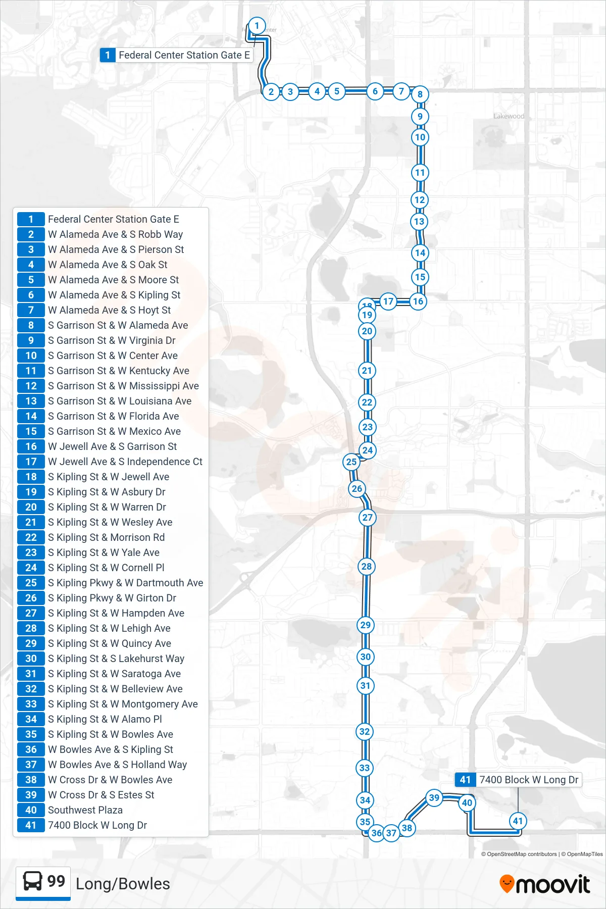
Stops list (99 - Long/Bowles)
- Federal Center Station Gate E
- W Alameda Ave & S Robb Way
- W Alameda Ave & S Pierson St
- W Alameda Ave & S Oak St
- W Alameda Ave & S Moore St
- W Alameda Ave & S Kipling St
- W Alameda Ave & S Hoyt St
- S Garrison St & W Alameda Ave
- S Garrison St & W Virginia Dr
- S Garrison St & W Center Ave
- S Garrison St & W Kentucky Ave
- S Garrison St & W Mississippi Ave
- S Garrison St & W Louisiana Ave
- S Garrison St & W Florida Ave
- S Garrison St & W Mexico Ave
- W Jewell Ave & S Garrison St
- W Jewell Ave & S Independence Ct
- S Kipling St & W Jewell Ave
- S Kipling St & W Asbury Dr
- S Kipling St & W Warren Dr
- S Kipling St & W Wesley Ave
- S Kipling St & Morrison Rd
- S Kipling St & W Yale Ave
- S Kipling St & W Cornell Pl
- S Kipling Pkwy & W Dartmouth Ave
- S Kipling Pkwy & W Girton Dr
- S Kipling St & W Hampden Ave
- S Kipling St & W Lehigh Ave
- S Kipling St & W Quincy Ave
- S Kipling St & S Lakehurst Way
- S Kipling St & W Saratoga Ave
- S Kipling St & W Belleview Ave
- S Kipling St & W Montgomery Ave
- S Kipling St & W Alamo Pl
- S Kipling St & W Bowles Ave
- W Bowles Ave & S Kipling St
- W Bowles Ave & S Holland Way
- W Cross Dr & W Bowles Ave
- W Cross Dr & S Estes St
- Southwest Plaza
- 7400 Block W Long Dr