
A Bus Route Map
View the A route map and see all A stops along the route. The map of A shows where the bus travels and the location of each stop, making it easy to understand the entire route at a glance.
Explore Rurtalbus GmbH routes on the map and see where Rurtalbus GmbH bus services operate. Use the A map to find bus stops and see how the A connects different areas along its trip.
All A stops on the map are displayed in route order, helping you follow the A bus from the first stop to the last.
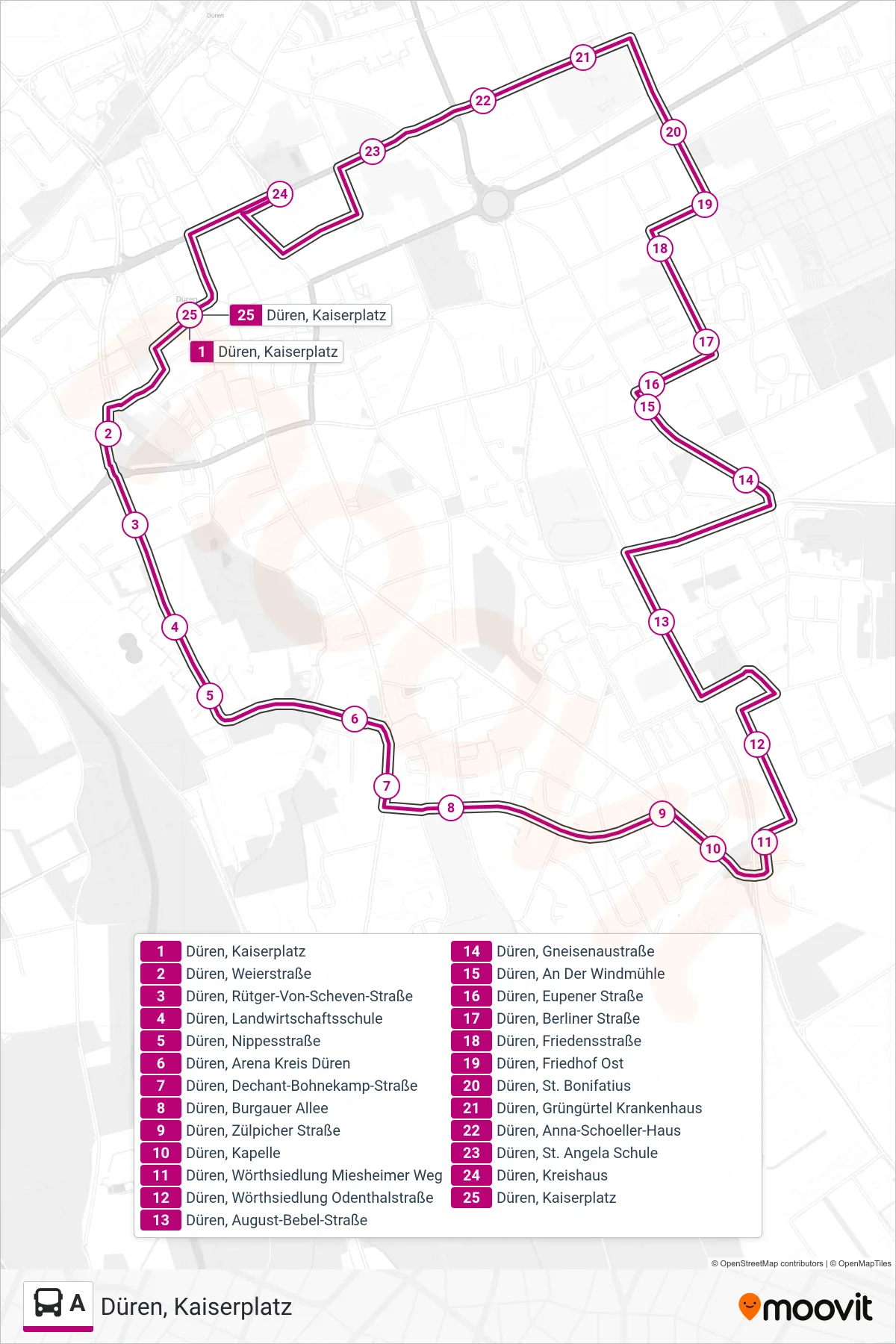
Stops list (A - Düren, Kaiserplatz)
- Düren, Kaiserplatz
- Düren, Weierstraße
- Düren, Rütger-Von-Scheven-Straße
- Düren, Landwirtschaftsschule
- Düren, Nippesstraße
- Düren, Arena Kreis Düren
- Düren, Dechant-Bohnekamp-Straße
- Düren, Burgauer Allee
- Düren, Zülpicher Straße
- Düren, Kapelle
- Düren, Wörthsiedlung Miesheimer Weg
- Düren, Wörthsiedlung Odenthalstraße
- Düren, August-Bebel-Straße
- Düren, Gneisenaustraße
- Düren, An Der Windmühle
- Düren, Eupener Straße
- Düren, Berliner Straße
- Düren, Friedensstraße
- Düren, Friedhof Ost
- Düren, St. Bonifatius
- Düren, Grüngürtel Krankenhaus
- Düren, Anna-Schoeller-Haus
- Düren, St. Angela Schule
- Düren, Kreishaus
- Düren, Kaiserplatz