
A Bus Route Map
View the A route map and see all A stops along the route. The map of A shows where the bus travels and the location of each stop, making it easy to understand the entire route at a glance.
Explore Altobus (Communauté Urbaine d'Alençon) routes on the map and see where Altobus (Communauté Urbaine d'Alençon) bus services operate. Use the A map to find bus stops and see how the A connects different areas along its trip.
All A stops on the map are displayed in route order, helping you follow the A bus from the first stop to the last.
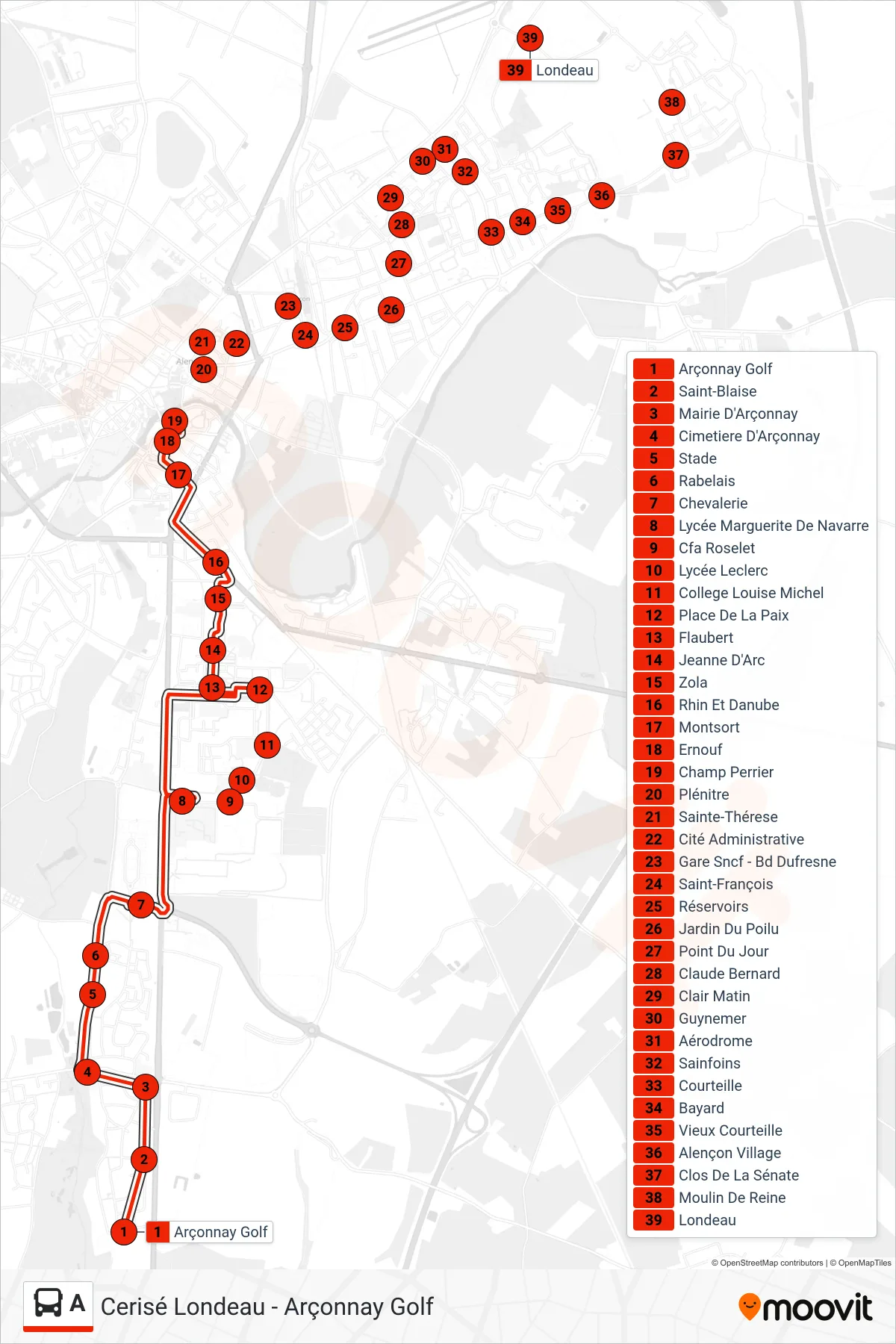
Stops list (A - Cerisé Londeau)
- Arçonnay Golf
- Saint-Blaise
- Mairie D'Arçonnay
- Cimetiere D'Arçonnay
- Stade
- Rabelais
- Chevalerie
- Lycée Marguerite De Navarre
- Cfa Roselet
- Lycée Leclerc
- College Louise Michel
- Place De La Paix
- Flaubert
- Jeanne D'Arc
- Zola
- Rhin Et Danube
- Montsort
- Ernouf
- Champ Perrier
- Plénitre
- Sainte-Thérese
- Cité Administrative
- Gare Sncf - Bd Dufresne
- Saint-François
- Réservoirs
- Jardin Du Poilu
- Point Du Jour
- Claude Bernard
- Clair Matin
- Guynemer
- Aérodrome
- Sainfoins
- Courteille
- Bayard
- Vieux Courteille
- Alençon Village
- Clos De La Sénate
- Moulin De Reine
- Londeau