
A25 Bus Route Map
View the A25 route map and see all A25 stops along the route. The map of A25 shows where the bus travels and the location of each stop, making it easy to understand the entire route at a glance.
Explore WMATA routes on the map and see where WMATA bus services operate. Use the A25 map to find bus stops and see how the A25 connects different areas along its trip.
All A25 stops on the map are displayed in route order, helping you follow the A25 bus from the first stop to the last.
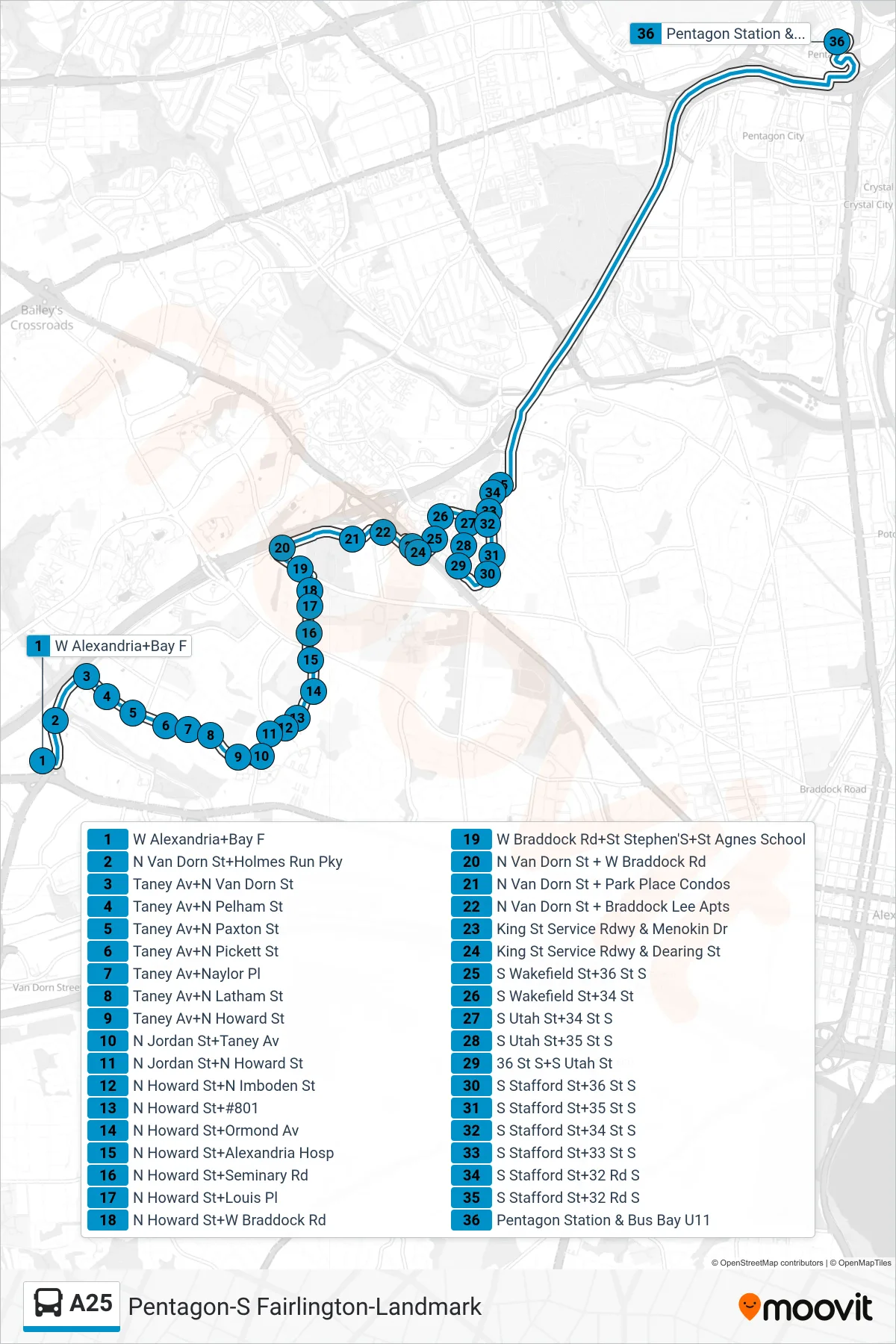
Stops list (A25 - North To Pentagon)
- W Alexandria+Bay F
- N Van Dorn St+Holmes Run Pky
- Taney Av+N Van Dorn St
- Taney Av+N Pelham St
- Taney Av+N Paxton St
- Taney Av+N Pickett St
- Taney Av+Naylor Pl
- Taney Av+N Latham St
- Taney Av+N Howard St
- N Jordan St+Taney Av
- N Jordan St+N Howard St
- N Howard St+N Imboden St
- N Howard St+#801
- N Howard St+Ormond Av
- N Howard St+Alexandria Hosp
- N Howard St+Seminary Rd
- N Howard St+Louis Pl
- N Howard St+W Braddock Rd
- W Braddock Rd+St Stephen'S+St Agnes School
- N Van Dorn St + W Braddock Rd
- N Van Dorn St + Park Place Condos
- N Van Dorn St + Braddock Lee Apts
- King St Service Rdwy & Menokin Dr
- King St Service Rdwy & Dearing St
- S Wakefield St+36 St S
- S Wakefield St+34 St
- S Utah St+34 St S
- S Utah St+35 St S
- 36 St S+S Utah St
- S Stafford St+36 St S
- S Stafford St+35 St S
- S Stafford St+34 St S
- S Stafford St+33 St S
- S Stafford St+32 Rd S
- S Stafford St+32 Rd S
- Pentagon Station & Bus Bay U11