
A646 Bus Route Map
View the A646 route map and see all A646 stops along the route. The map of A646 shows where the bus travels and the location of each stop, making it easy to understand the entire route at a glance.
Explore Verkehrsbetriebe Westfalen-Süd routes on the map and see where Verkehrsbetriebe Westfalen-Süd bus services operate. Use the A646 map to find bus stops and see how the A646 connects different areas along its trip.
All A646 stops on the map are displayed in route order, helping you follow the A646 bus from the first stop to the last.
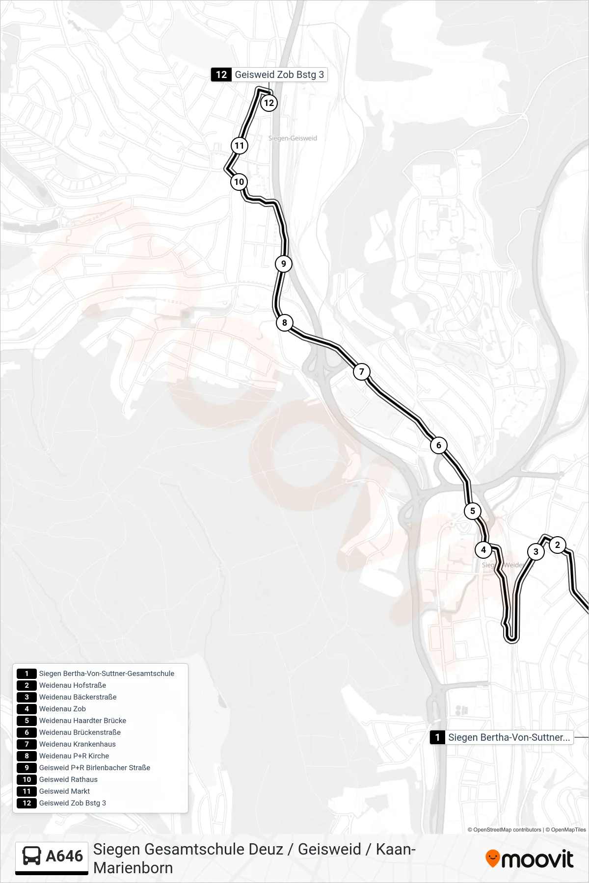
Stops list (A646 - Geisweid Zob Bstg 3)
- Siegen Bertha-Von-Suttner-Gesamtschule
- Weidenau Hofstraße
- Weidenau Bäckerstraße
- Weidenau Zob
- Weidenau Haardter Brücke
- Weidenau Brückenstraße
- Weidenau Krankenhaus
- Weidenau P+R Kirche
- Geisweid P+R Birlenbacher Straße
- Geisweid Rathaus
- Geisweid Markt
- Geisweid Zob Bstg 3
Change direction
- Route Map - A646 - Geisweid Stormstraße 47
- Route Map - A646 - Freudenberg Mórer Platz Bstg 2
- Route Map - A646 - Deuz Ortsmitte
- Route Map - A646 - Siegen Giersberg Schule
- Route Map - A646 - Siegen Zob Bstg E
- Route Map - A646 - Netphen Rathaus
- Route Map - A646 - Siegen Bertha-Von-Suttner-Gesamtschule
- Route Map - A646 - Hainchen Ortsmitte
- Route Map - A646 - Kaan-Marienborn Ortsmitte