
AC Bus Route Map
View the AC route map and see all AC stops along the route. The map of AC shows where the bus travels and the location of each stop, making it easy to understand the entire route at a glance.
Explore CATA routes on the map and see where CATA bus services operate. Use the AC map to find bus stops and see how the AC connects different areas along its trip.
All AC stops on the map are displayed in route order, helping you follow the AC bus from the first stop to the last.
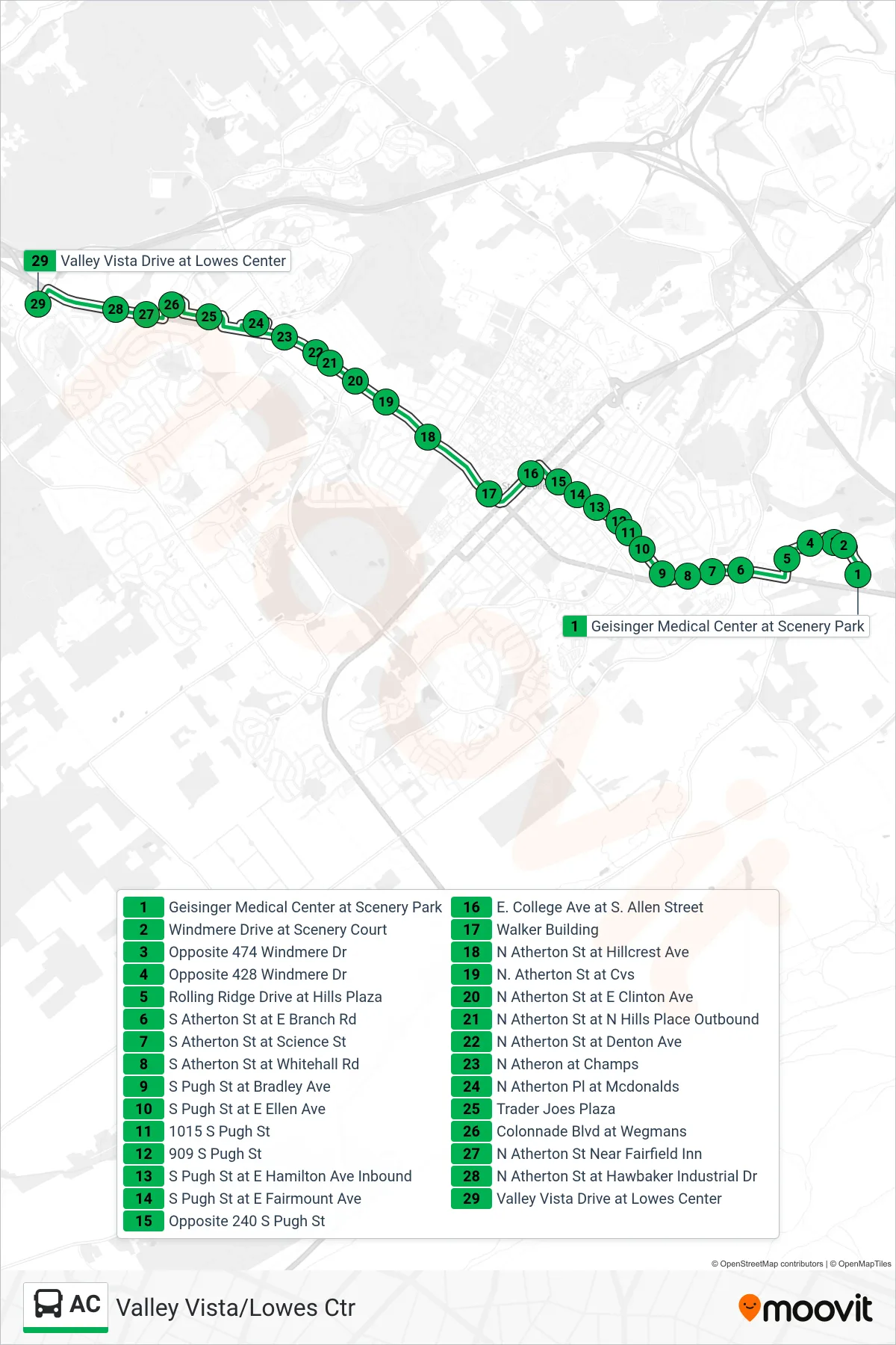
Stops list (AC - Valley Vista/Lowes Ctr)
- Geisinger Medical Center at Scenery Park
- Windmere Drive at Scenery Court
- Opposite 474 Windmere Dr
- Opposite 428 Windmere Dr
- Rolling Ridge Drive at Hills Plaza
- S Atherton St at E Branch Rd
- S Atherton St at Science St
- S Atherton St at Whitehall Rd
- S Pugh St at Bradley Ave
- S Pugh St at E Ellen Ave
- 1015 S Pugh St
- 909 S Pugh St
- S Pugh St at E Hamilton Ave Inbound
- S Pugh St at E Fairmount Ave
- Opposite 240 S Pugh St
- E. College Ave at S. Allen Street
- Walker Building
- N Atherton St at Hillcrest Ave
- N. Atherton St at Cvs
- N Atherton St at E Clinton Ave
- N Atherton St at N Hills Place Outbound
- N Atherton St at Denton Ave
- N Atheron at Champs
- N Atherton Pl at Mcdonalds
- Trader Joes Plaza
- Colonnade Blvd at Wegmans
- N Atherton St Near Fairfield Inn
- N Atherton St at Hawbaker Industrial Dr
- Valley Vista Drive at Lowes Center