
B Bus Route Map
View the B route map and see all B stops along the route. The map of B shows where the bus travels and the location of each stop, making it easy to understand the entire route at a glance.
Explore SV Annaberg-Buchholz Bus routes on the map and see where SV Annaberg-Buchholz Bus bus services operate. Use the B map to find bus stops and see how the B connects different areas along its trip.
All B stops on the map are displayed in route order, helping you follow the B bus from the first stop to the last.
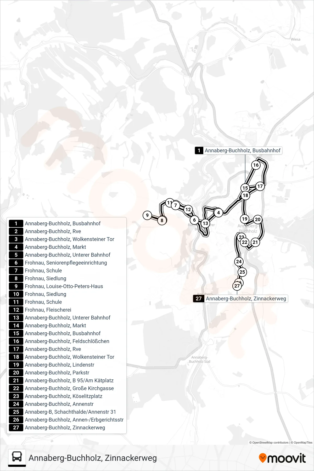
Stops list (B - Annaberg-Buchholz, Zinnackerweg)
- Annaberg-Buchholz, Busbahnhof
- Annaberg-Buchholz, Rve
- Annaberg-Buchholz, Wolkensteiner Tor
- Annaberg-Buchholz, Markt
- Annaberg-Buchholz, Unterer Bahnhof
- Frohnau, Seniorenpflegeeinrichtung
- Frohnau, Schule
- Frohnau, Siedlung
- Frohnau, Louise-Otto-Peters-Haus
- Frohnau, Siedlung
- Frohnau, Schule
- Frohnau, Fleischerei
- Annaberg-Buchholz, Unterer Bahnhof
- Annaberg-Buchholz, Markt
- Annaberg-Buchholz, Busbahnhof
- Annaberg-Buchholz, Feldschlößchen
- Annaberg-Buchholz, Rve
- Annaberg-Buchholz, Wolkensteiner Tor
- Annaberg-Buchholz, Lindenstr
- Annaberg-Buchholz, Parkstr
- Annaberg-Buchholz, B 95/Am Kätplatz
- Annaberg-Buchholz, Große Kirchgasse
- Annaberg-Buchholz, Köselitzplatz
- Annaberg-Buchholz, Annenstr
- Annaberg-B, Schachthalde/Annenstr 31
- Annaberg-Buchholz, Annen-/Erbgerichtsstr
- Annaberg-Buchholz, Zinnackerweg