
B Bus Route Map
View the B route map and see all B stops along the route. The map of B shows where the bus travels and the location of each stop, making it easy to understand the entire route at a glance.
Explore Görlitzer Verkehrsbetriebe routes on the map and see where Görlitzer Verkehrsbetriebe bus services operate. Use the B map to find bus stops and see how the B connects different areas along its trip.
All B stops on the map are displayed in route order, helping you follow the B bus from the first stop to the last.
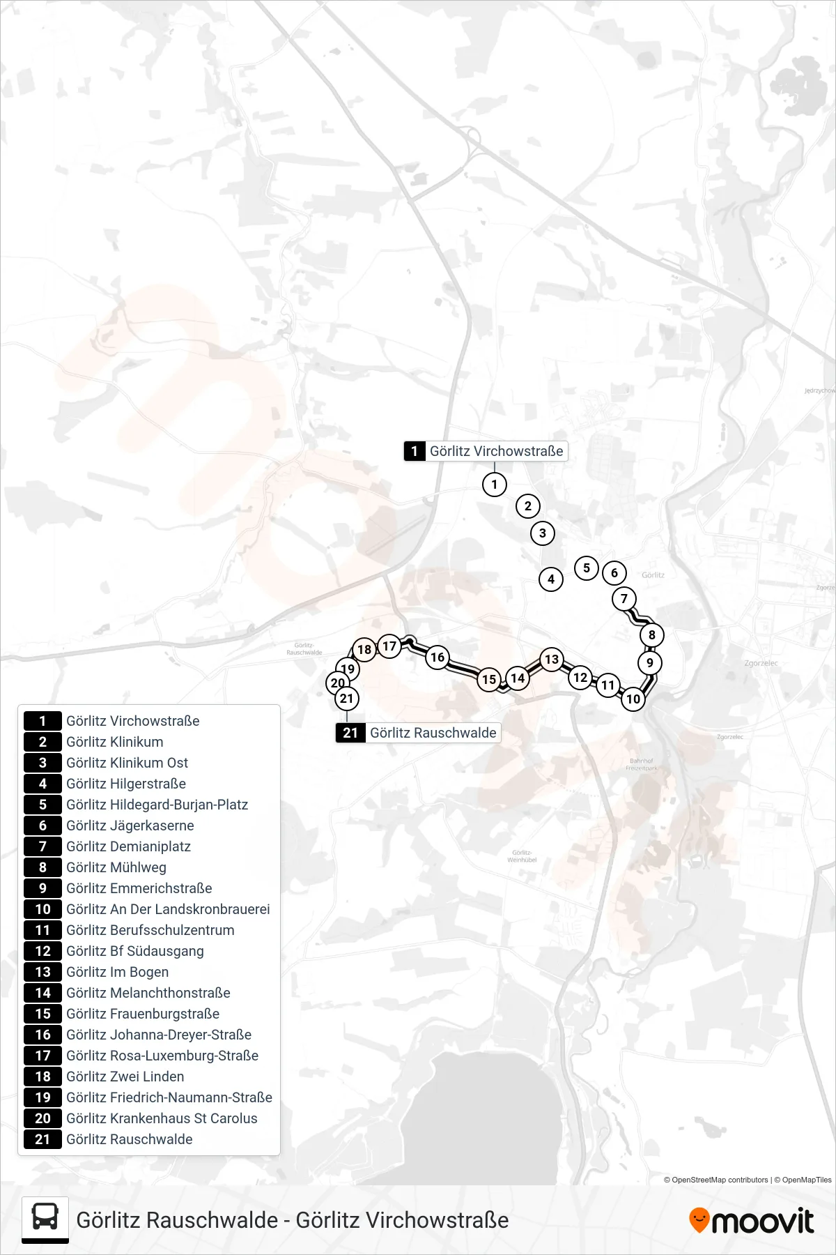
Stops list (B - Görlitz Rauschwalde)
- Görlitz Virchowstraße
- Görlitz Klinikum
- Görlitz Klinikum Ost
- Görlitz Hilgerstraße
- Görlitz Hildegard-Burjan-Platz
- Görlitz Jägerkaserne
- Görlitz Demianiplatz
- Görlitz Mühlweg
- Görlitz Emmerichstraße
- Görlitz An Der Landskronbrauerei
- Görlitz Berufsschulzentrum
- Görlitz Bf Südausgang
- Görlitz Im Bogen
- Görlitz Melanchthonstraße
- Görlitz Frauenburgstraße
- Görlitz Johanna-Dreyer-Straße
- Görlitz Rosa-Luxemburg-Straße
- Görlitz Zwei Linden
- Görlitz Friedrich-Naumann-Straße
- Görlitz Krankenhaus St Carolus
- Görlitz Rauschwalde