
B Bus Route Map
View the B route map and see all B stops along the route. The map of B shows where the bus travels and the location of each stop, making it easy to understand the entire route at a glance.
Explore HEAG mobiBus GmbH + Co. KG routes on the map and see where HEAG mobiBus GmbH + Co. KG bus services operate. Use the B map to find bus stops and see how the B connects different areas along its trip.
All B stops on the map are displayed in route order, helping you follow the B bus from the first stop to the last.
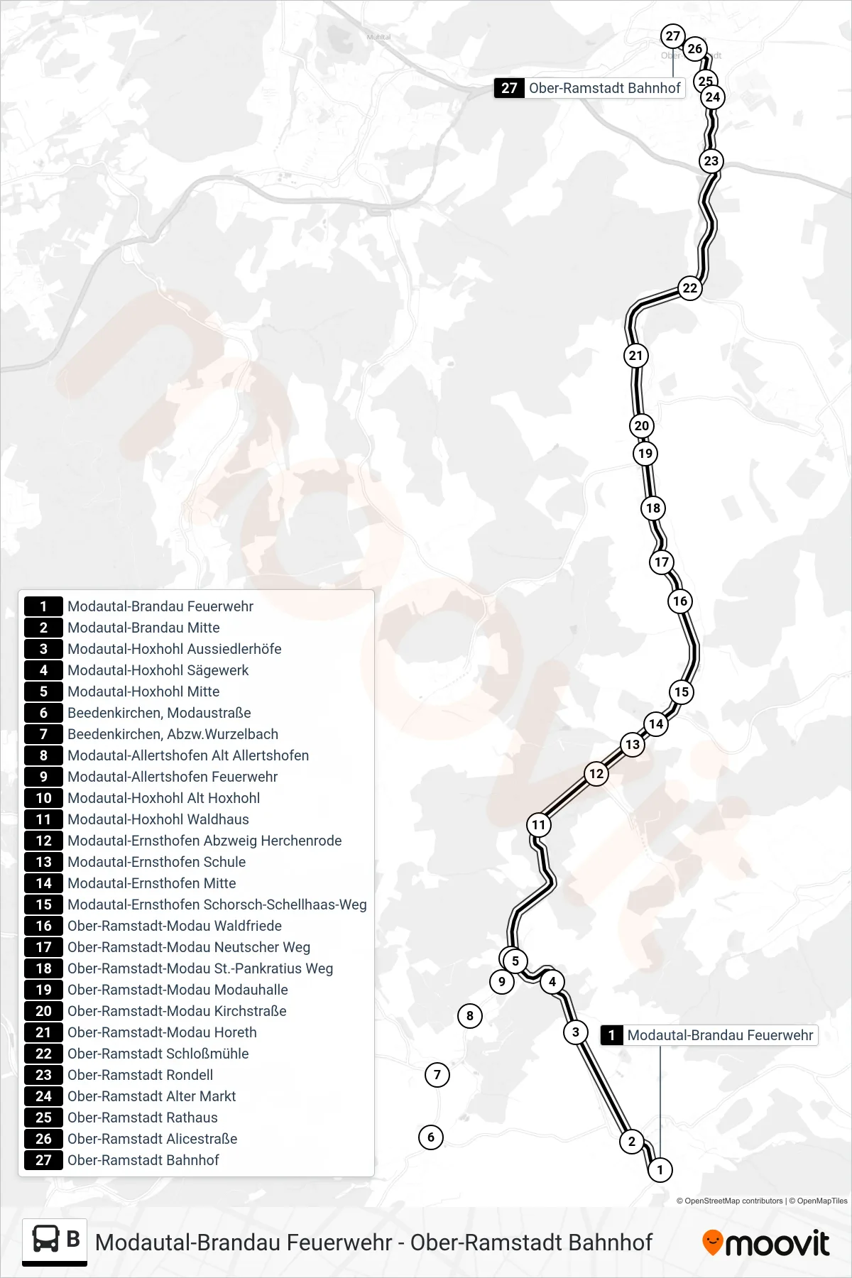
Stops list (B - Ober-Ramstadt Bahnhof)
- Modautal-Brandau Feuerwehr
- Modautal-Brandau Mitte
- Modautal-Hoxhohl Aussiedlerhöfe
- Modautal-Hoxhohl Sägewerk
- Modautal-Hoxhohl Mitte
- Beedenkirchen, Modaustraße
- Beedenkirchen, Abzw.Wurzelbach
- Modautal-Allertshofen Alt Allertshofen
- Modautal-Allertshofen Feuerwehr
- Modautal-Hoxhohl Alt Hoxhohl
- Modautal-Hoxhohl Waldhaus
- Modautal-Ernsthofen Abzweig Herchenrode
- Modautal-Ernsthofen Schule
- Modautal-Ernsthofen Mitte
- Modautal-Ernsthofen Schorsch-Schellhaas-Weg
- Ober-Ramstadt-Modau Waldfriede
- Ober-Ramstadt-Modau Neutscher Weg
- Ober-Ramstadt-Modau St.-Pankratius Weg
- Ober-Ramstadt-Modau Modauhalle
- Ober-Ramstadt-Modau Kirchstraße
- Ober-Ramstadt-Modau Horeth
- Ober-Ramstadt Schloßmühle
- Ober-Ramstadt Rondell
- Ober-Ramstadt Alter Markt
- Ober-Ramstadt Rathaus
- Ober-Ramstadt Alicestraße
- Ober-Ramstadt Bahnhof