
B Bus Route Map
View the B route map and see all B stops along the route. The map of B shows where the bus travels and the location of each stop, making it easy to understand the entire route at a glance.
Explore Brundig Reisen routes on the map and see where Brundig Reisen bus services operate. Use the B map to find bus stops and see how the B connects different areas along its trip.
All B stops on the map are displayed in route order, helping you follow the B bus from the first stop to the last.
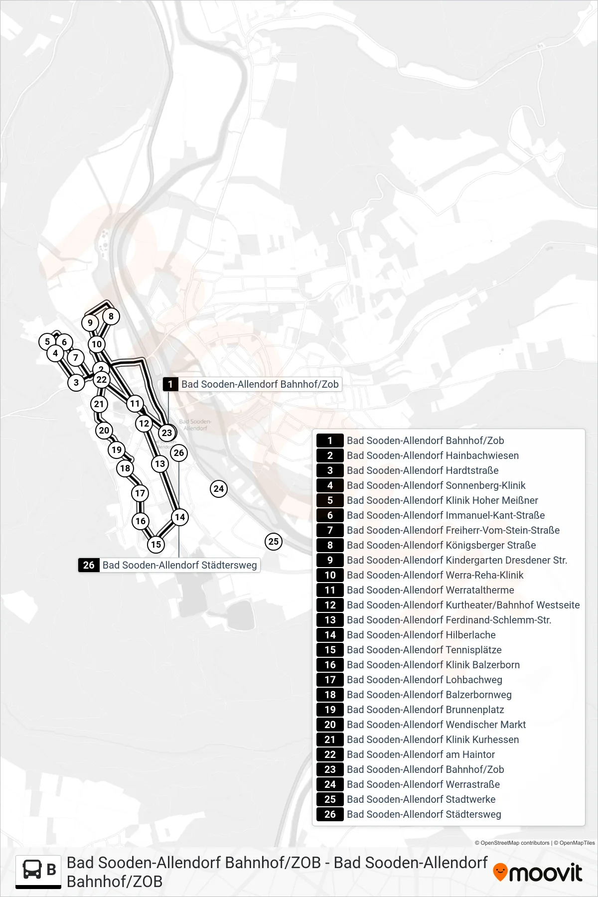
Stops list (B - Bad Sooden-Allendorf Bahnhof/Zob)
- Bad Sooden-Allendorf Bahnhof/Zob
- Bad Sooden-Allendorf Hainbachwiesen
- Bad Sooden-Allendorf Hardtstraße
- Bad Sooden-Allendorf Sonnenberg-Klinik
- Bad Sooden-Allendorf Klinik Hoher Meißner
- Bad Sooden-Allendorf Immanuel-Kant-Straße
- Bad Sooden-Allendorf Freiherr-Vom-Stein-Straße
- Bad Sooden-Allendorf Königsberger Straße
- Bad Sooden-Allendorf Kindergarten Dresdener Str.
- Bad Sooden-Allendorf Werra-Reha-Klinik
- Bad Sooden-Allendorf Werrataltherme
- Bad Sooden-Allendorf Kurtheater/Bahnhof Westseite
- Bad Sooden-Allendorf Ferdinand-Schlemm-Str.
- Bad Sooden-Allendorf Hilberlache
- Bad Sooden-Allendorf Tennisplätze
- Bad Sooden-Allendorf Klinik Balzerborn
- Bad Sooden-Allendorf Lohbachweg
- Bad Sooden-Allendorf Balzerbornweg
- Bad Sooden-Allendorf Brunnenplatz
- Bad Sooden-Allendorf Wendischer Markt
- Bad Sooden-Allendorf Klinik Kurhessen
- Bad Sooden-Allendorf am Haintor
- Bad Sooden-Allendorf Bahnhof/Zob
- Bad Sooden-Allendorf Werrastraße
- Bad Sooden-Allendorf Stadtwerke
- Bad Sooden-Allendorf Städtersweg