
B6 Bus Route Map
View the B6 route map and see all B6 stops along the route. The map of B6 shows where the bus travels and the location of each stop, making it easy to understand the entire route at a glance.
Explore Pioneer Valley Transit Authority routes on the map and see where Pioneer Valley Transit Authority bus services operate. Use the B6 map to find bus stops and see how the B6 connects different areas along its trip.
All B6 stops on the map are displayed in route order, helping you follow the B6 bus from the first stop to the last.
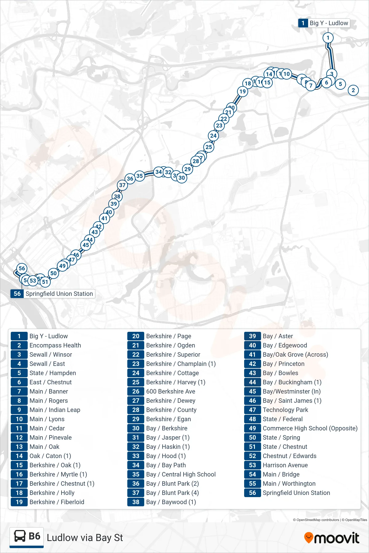
Stops list (B6 - Union Station Via Berkshire/Bay)
- Big Y - Ludlow
- Encompass Health
- Sewall / Winsor
- Sewall / East
- State / Hampden
- East / Chestnut
- Main / Banner
- Main / Rogers
- Main / Indian Leap
- Main / Lyons
- Main / Cedar
- Main / Pinevale
- Main / Oak
- Oak / Caton (1)
- Berkshire / Oak (1)
- Berkshire / Myrtle (1)
- Berkshire / Chestnut (1)
- Berkshire / Holly
- Berkshire / Fiberloid
- Berkshire / Page
- Berkshire / Ogden
- Berkshire / Superior
- Berkshire / Champlain (1)
- Berkshire / Cottage
- Berkshire / Harvey (1)
- 600 Berkshire Ave
- Berkshire / Dewey
- Berkshire / County
- Berkshire / Egan
- Bay / Berkshire
- Bay / Jasper (1)
- Bay / Haskin (1)
- Bay / Hood (1)
- Bay / Bay Path
- Bay / Central High School
- Bay / Blunt Park (2)
- Bay / Blunt Park (4)
- Bay / Baywood (1)
- Bay / Aster
- Bay / Edgewood
- Bay/Oak Grove (Across)
- Bay / Princeton
- Bay / Bowles
- Bay / Buckingham (1)
- Bay/Westminster (In)
- Bay / Saint James (1)
- Technology Park
- State / Federal
- Commerce High School (Opposite)
- State / Spring
- State / Chestnut
- Chestnut / Edwards
- Harrison Avenue
- Main / Bridge
- Main / Worthington
- Springfield Union Station