
BHM Bus Route Map
View the BHM route map and see all BHM stops along the route. The map of BHM shows where the bus travels and the location of each stop, making it easy to understand the entire route at a glance.
Explore Niederrheinische VKB routes on the map and see where Niederrheinische VKB bus services operate. Use the BHM map to find bus stops and see how the BHM connects different areas along its trip.
All BHM stops on the map are displayed in route order, helping you follow the BHM bus from the first stop to the last.
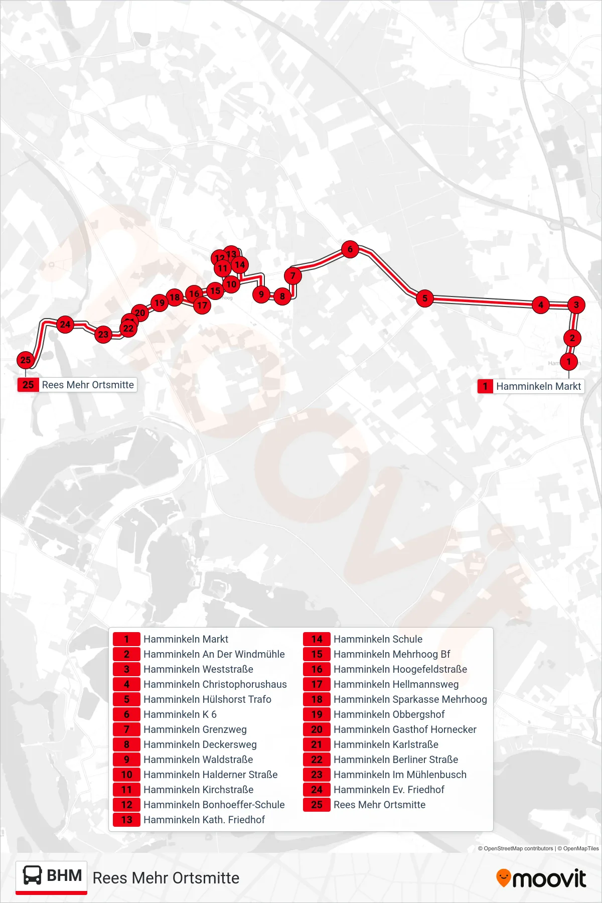
Stops list (BHM - Rees Mehr Ortsmitte)
- Hamminkeln Markt
- Hamminkeln An Der Windmühle
- Hamminkeln Weststraße
- Hamminkeln Christophorushaus
- Hamminkeln Hülshorst Trafo
- Hamminkeln K 6
- Hamminkeln Grenzweg
- Hamminkeln Deckersweg
- Hamminkeln Waldstraße
- Hamminkeln Halderner Straße
- Hamminkeln Kirchstraße
- Hamminkeln Bonhoeffer-Schule
- Hamminkeln Kath. Friedhof
- Hamminkeln Schule
- Hamminkeln Mehrhoog Bf
- Hamminkeln Hoogefeldstraße
- Hamminkeln Hellmannsweg
- Hamminkeln Sparkasse Mehrhoog
- Hamminkeln Obbergshof
- Hamminkeln Gasthof Hornecker
- Hamminkeln Karlstraße
- Hamminkeln Berliner Straße
- Hamminkeln Im Mühlenbusch
- Hamminkeln Ev. Friedhof
- Rees Mehr Ortsmitte