
BOUND Bus Route Map
View the BOUND route map and see all BOUND stops along the route. The map of BOUND shows where the bus travels and the location of each stop, making it easy to understand the entire route at a glance.
Explore Regional Transportation District routes on the map and see where Regional Transportation District bus services operate. Use the BOUND map to find bus stops and see how the BOUND connects different areas along its trip.
All BOUND stops on the map are displayed in route order, helping you follow the BOUND bus from the first stop to the last.
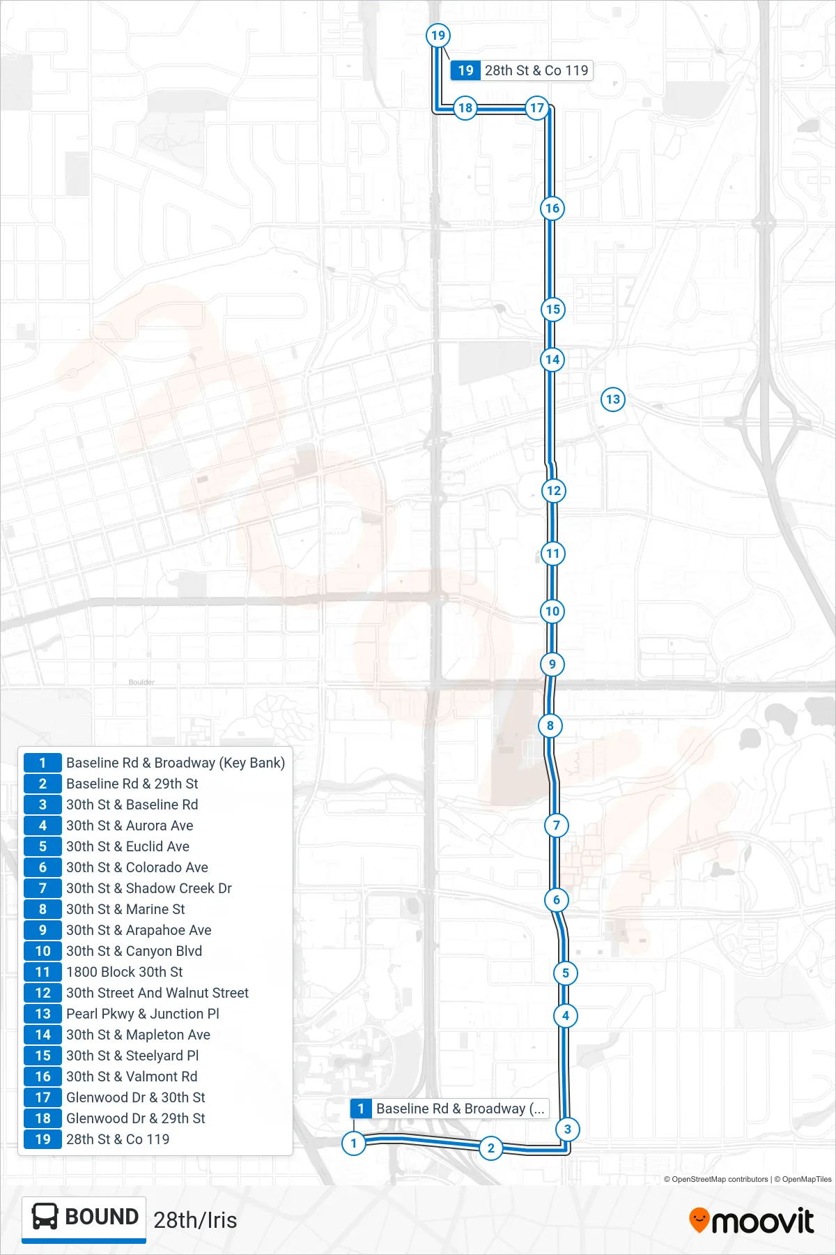
Stops list (BOUND - 28th/Iris)
- Baseline Rd & Broadway (Key Bank)
- Baseline Rd & 29th St
- 30th St & Baseline Rd
- 30th St & Aurora Ave
- 30th St & Euclid Ave
- 30th St & Colorado Ave
- 30th St & Shadow Creek Dr
- 30th St & Marine St
- 30th St & Arapahoe Ave
- 30th St & Canyon Blvd
- 1800 Block 30th St
- 30th Street And Walnut Street
- Pearl Pkwy & Junction Pl
- 30th St & Mapleton Ave
- 30th St & Steelyard Pl
- 30th St & Valmont Rd
- Glenwood Dr & 30th St
- Glenwood Dr & 29th St
- 28th St & Co 119