
C1 Bus Route Map
View the C1 route map and see all C1 stops along the route. The map of C1 shows where the bus travels and the location of each stop, making it easy to understand the entire route at a glance.
Explore Bus Átha Cliath – Dublin Bus routes on the map and see where Bus Átha Cliath – Dublin Bus bus services operate. Use the C1 map to find bus stops and see how the C1 connects different areas along its trip.
All C1 stops on the map are displayed in route order, helping you follow the C1 bus from the first stop to the last.
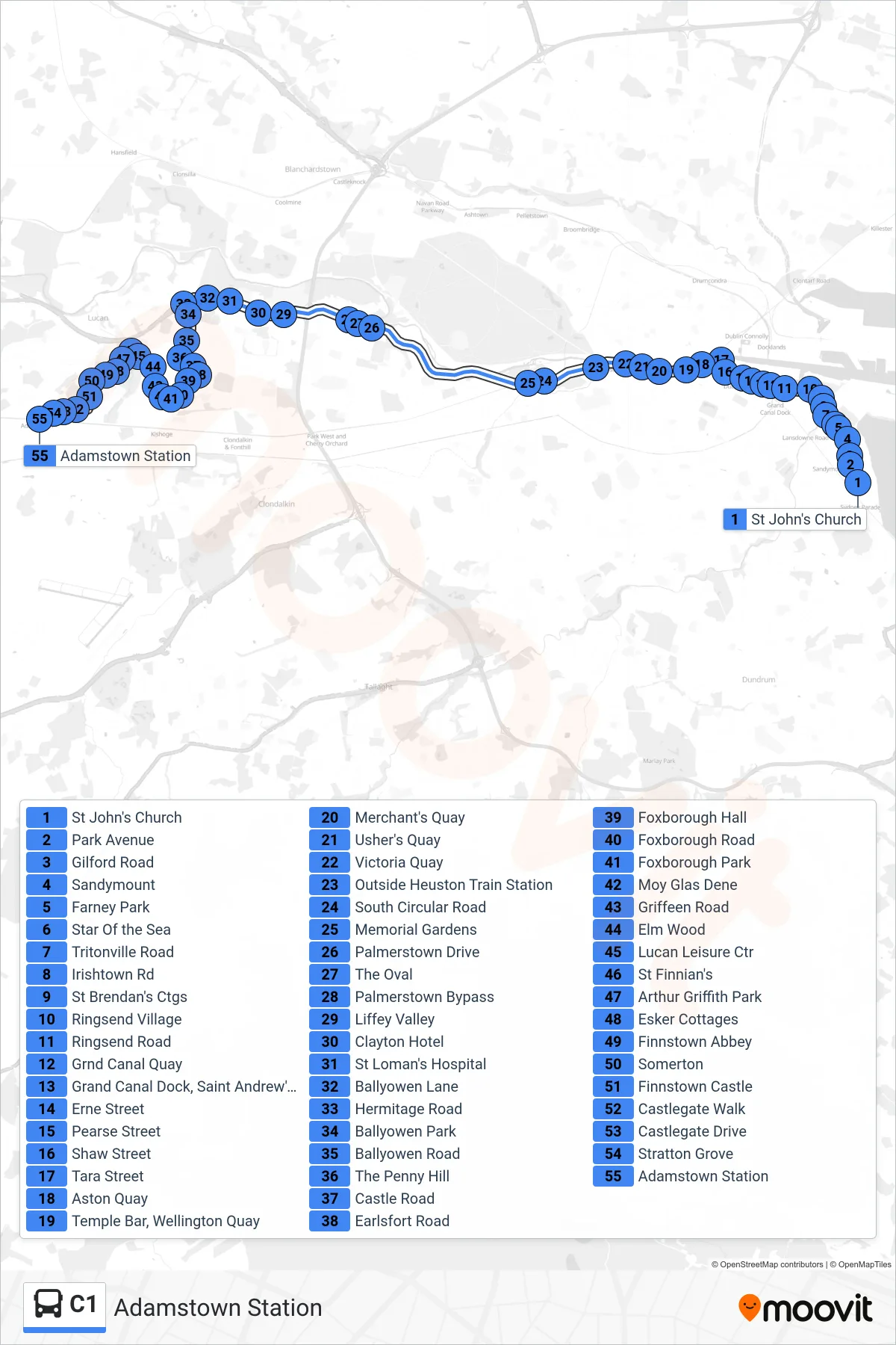
Stops list (C1 - Adamstown Station)
- St John's Church
- Park Avenue
- Gilford Road
- Sandymount
- Farney Park
- Star Of the Sea
- Tritonville Road
- Irishtown Rd
- St Brendan's Ctgs
- Ringsend Village
- Ringsend Road
- Grnd Canal Quay
- Grand Canal Dock, Saint Andrew's Resource Centre
- Erne Street
- Pearse Street
- Shaw Street
- Tara Street
- Aston Quay
- Temple Bar, Wellington Quay
- Merchant's Quay
- Usher's Quay
- Victoria Quay
- Outside Heuston Train Station
- South Circular Road
- Memorial Gardens
- Palmerstown Drive
- The Oval
- Palmerstown Bypass
- Liffey Valley
- Clayton Hotel
- St Loman's Hospital
- Ballyowen Lane
- Hermitage Road
- Ballyowen Park
- Ballyowen Road
- The Penny Hill
- Castle Road
- Earlsfort Road
- Foxborough Hall
- Foxborough Road
- Foxborough Park
- Moy Glas Dene
- Griffeen Road
- Elm Wood
- Lucan Leisure Ctr
- St Finnian's
- Arthur Griffith Park
- Esker Cottages
- Finnstown Abbey
- Somerton
- Finnstown Castle
- Castlegate Walk
- Castlegate Drive
- Stratton Grove
- Adamstown Station