
C2 Bus Route Map
View the C2 route map and see all C2 stops along the route. The map of C2 shows where the bus travels and the location of each stop, making it easy to understand the entire route at a glance.
Explore EMT routes on the map and see where EMT bus services operate. Use the C2 map to find bus stops and see how the C2 connects different areas along its trip.
All C2 stops on the map are displayed in route order, helping you follow the C2 bus from the first stop to the last.
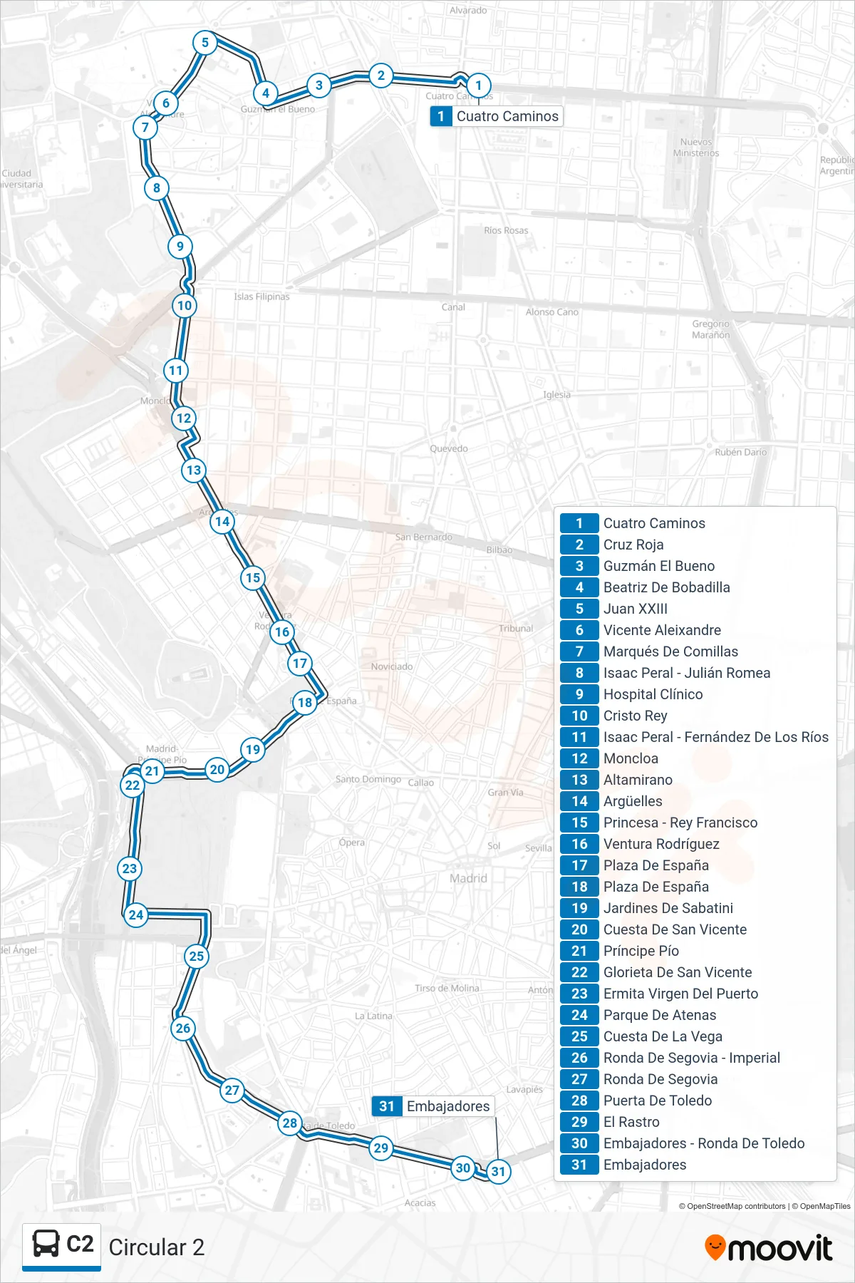
Stops list (C2 - Circular 2)
- Cuatro Caminos
- Cruz Roja
- Guzmán El Bueno
- Beatriz De Bobadilla
- Juan XXIII
- Vicente Aleixandre
- Marqués De Comillas
- Isaac Peral - Julián Romea
- Hospital Clínico
- Cristo Rey
- Isaac Peral - Fernández De Los Ríos
- Moncloa
- Altamirano
- Argüelles
- Princesa - Rey Francisco
- Ventura Rodríguez
- Plaza De España
- Plaza De España
- Jardines De Sabatini
- Cuesta De San Vicente
- Príncipe Pío
- Glorieta De San Vicente
- Ermita Virgen Del Puerto
- Parque De Atenas
- Cuesta De La Vega
- Ronda De Segovia - Imperial
- Ronda De Segovia
- Puerta De Toledo
- El Rastro
- Embajadores - Ronda De Toledo
- Embajadores