
CCE Bus Route Map
View the CCE route map and see all CCE stops along the route. The map of CCE shows where the bus travels and the location of each stop, making it easy to understand the entire route at a glance.
Explore Pee Dee Regional Transportation Authority routes on the map and see where Pee Dee Regional Transportation Authority bus services operate. Use the CCE map to find bus stops and see how the CCE connects different areas along its trip.
All CCE stops on the map are displayed in route order, helping you follow the CCE bus from the first stop to the last.
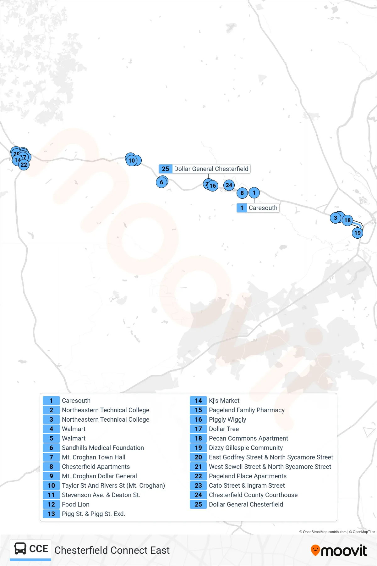
Stops list (CCE - )
- Caresouth
- Northeastern Technical College
- Northeastern Technical College
- Walmart
- Walmart
- Sandhills Medical Foundation
- Mt. Croghan Town Hall
- Chesterfield Apartments
- Mt. Croghan Dollar General
- Taylor St And Rivers St (Mt. Croghan)
- Stevenson Ave. & Deaton St.
- Food Lion
- Pigg St. & Pigg St. Exd.
- Kj's Market
- Pageland Famliy Pharmacy
- Piggly Wiggly
- Dollar Tree
- Pecan Commons Apartment
- Dizzy Gillespie Community
- East Godfrey Street & North Sycamore Street
- West Sewell Street & North Sycamore Street
- Pageland Place Apartments
- Cato Street & Ingram Street
- Chesterfield County Courthouse
- Dollar General Chesterfield