
CONTRAM Bus Route Map
View the CONTRAM route map and see all CONTRAM stops along the route. The map of CONTRAM shows where the bus travels and the location of each stop, making it easy to understand the entire route at a glance.
Explore Contram Mobilità S.c.p.a. routes on the map and see where Contram Mobilità S.c.p.a. bus services operate. Use the CONTRAM map to find bus stops and see how the CONTRAM connects different areas along its trip.
All CONTRAM stops on the map are displayed in route order, helping you follow the CONTRAM bus from the first stop to the last.
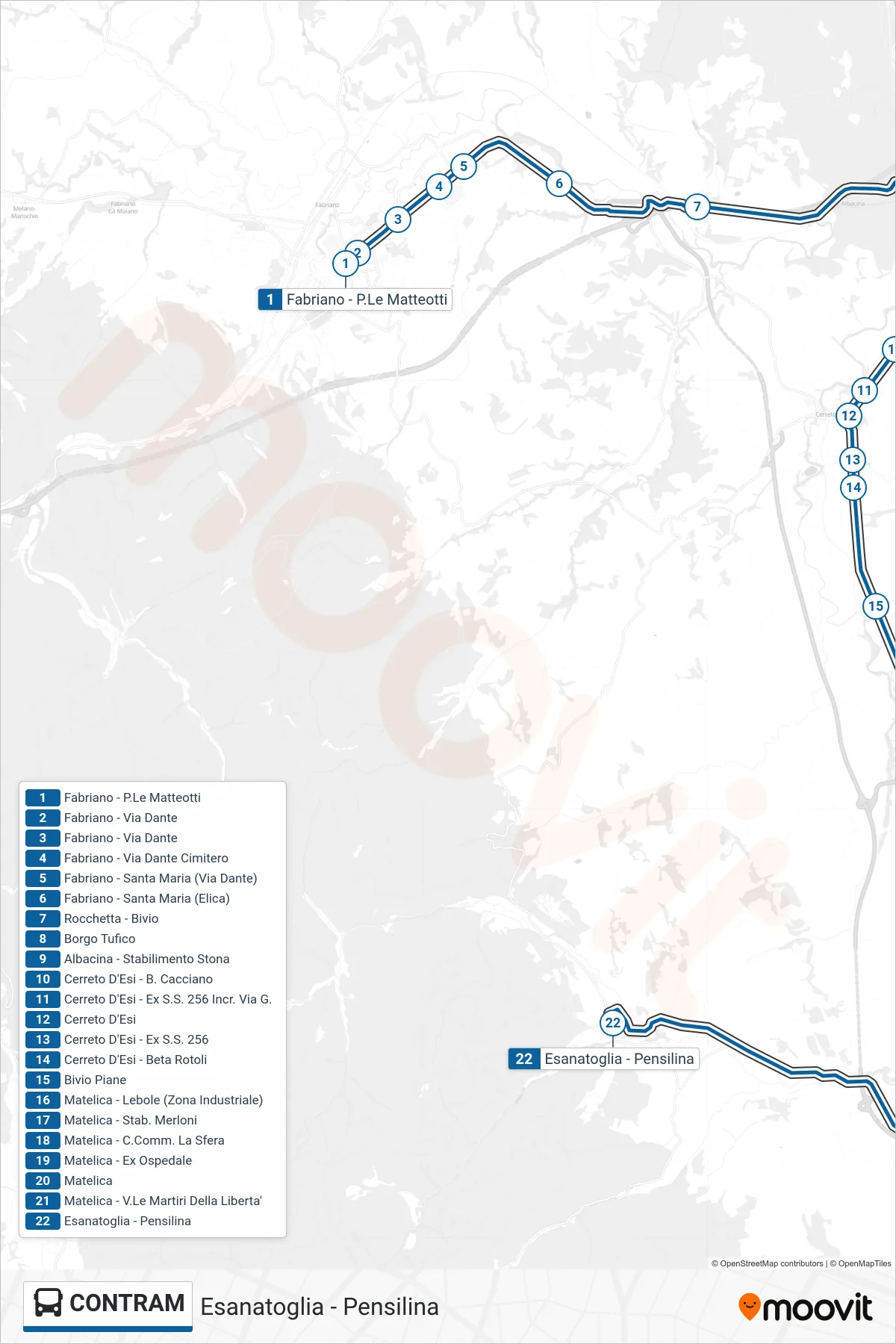
Stops list (CONTRAM - Esanatoglia - Bus Shelter)
- Fabriano - Matteotti Square
- Fabriano - Dante Street
- Fabriano - Dante Street
- Fabriano - Dante Street Cemetery
- Fabriano - Santa Maria (Dante Street)
- Fabriano - Santa Maria (Elica)
- Rocchetta - Junction
- Borgo Tufico
- Albacina - Stona Factory
- Cerreto D'Esi - B. Cacciano
- Cerreto D'Esi - Former SS 256 Int. Via G.
- Cerreto D'Esi
- Cerreto D'Esi - Former State Road 256
- Cerreto D'Esi - Beta Rotoli
- Piane Junction
- Matelica - Lebole (Industrial Zone)
- Matelica - Merloni Factory
- Matelica - La Sfera Shopping Center
- Matelica - Former Hospital
- Matelica
- Matelica - Martyrs of Liberty Avenue
- Esanatoglia - Bus Shelter