
COTRAL Bus Route Map
View the COTRAL route map and see all COTRAL stops along the route. The map of COTRAL shows where the bus travels and the location of each stop, making it easy to understand the entire route at a glance.
Explore Cotral routes on the map and see where Cotral bus services operate. Use the COTRAL map to find bus stops and see how the COTRAL connects different areas along its trip.
All COTRAL stops on the map are displayed in route order, helping you follow the COTRAL bus from the first stop to the last.
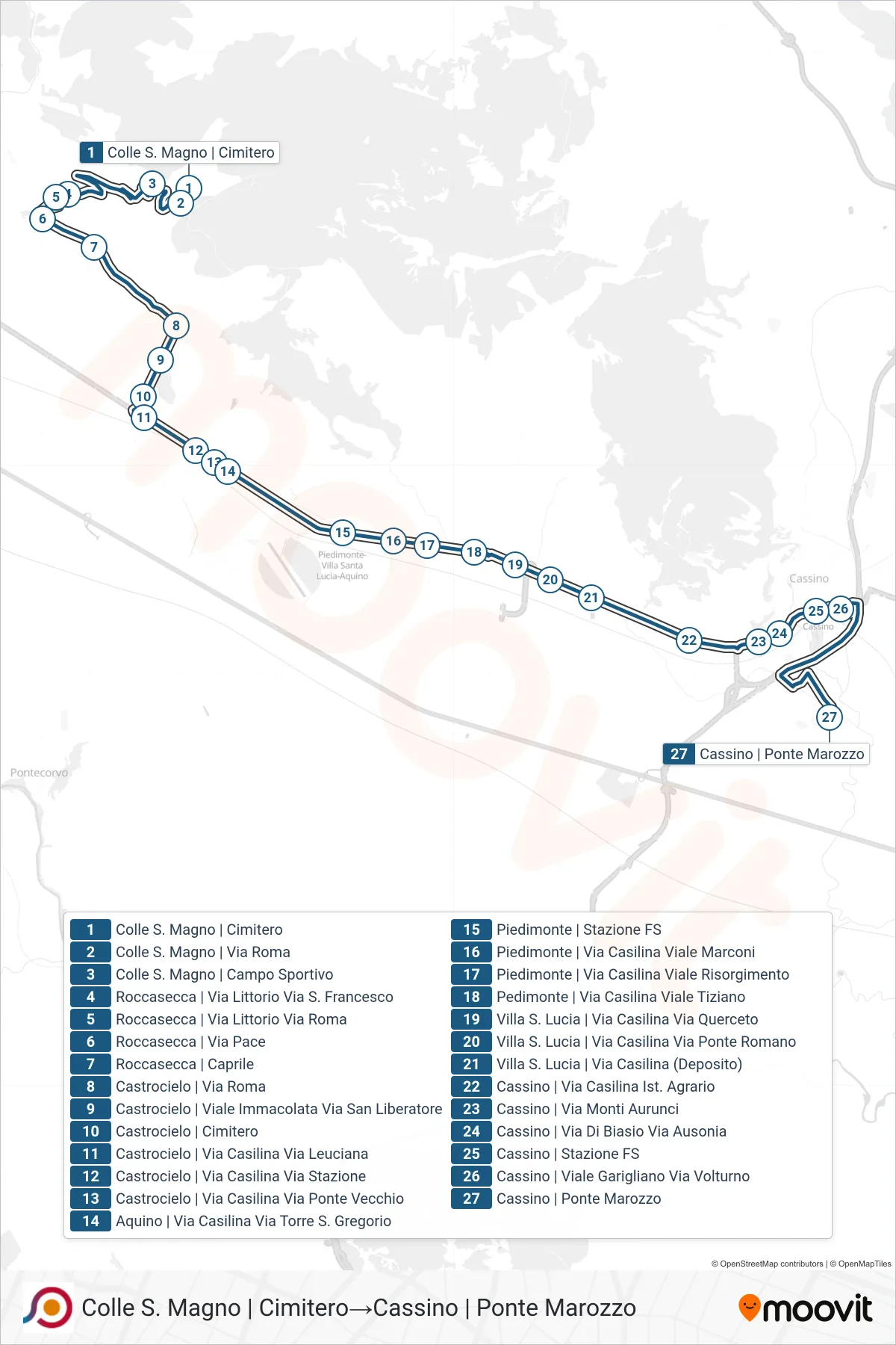
Stops list (COTRAL - Colle San Magno | Cemetery→Cassino via Ponte Marozzo)
- Colle San Magno | Cemetery
- Colle S. Magno | Sports Field
- Roccasecca | Littorio Street S. Francesco Street
- Roccasecca via Littorio via Roma
- Roccasecca | Peace Street
- Roccasecca | Caprile
- Castrocielo | Via Roma
- Castrocielo | Immaculate Avenue Via San Liberatore
- Castrocielo | Cemetery
- Castrocielo | Casilina Street Leuciana Street
- Castrocielo | Casilina Street Station Street
- Castrocielo | Casilina Street Old Bridge Street
- Aquino | Via Casilina Via Torre St. Gregory
- Piedimonte | Railway Station
- Piedimonte | Via Casilina Viale Marconi
- Piedimonte | Casilina Street Risorgimento Avenue
- Pedimonte | Casilina Street Tiziano Avenue
- Villa S. Lucia | Casilina Road Querceto Road
- Villa Santa Lucia via Casilina via Ponte Romano
- Villa S. Lucia | Via Casilina (Depot)
- Cassino | Casilina Street Agricultural Institute
- Cassino | Via Monti Aurunci
- Cassino | Di Biasio Road Ausonia Road
- Cassino | Railway Station
- Cassino via Garigliano via Volturno
- Cassino via Ponte Marozzo