
COTRAL Bus Route Map
View the COTRAL route map and see all COTRAL stops along the route. The map of COTRAL shows where the bus travels and the location of each stop, making it easy to understand the entire route at a glance.
Explore Cotral routes on the map and see where Cotral bus services operate. Use the COTRAL map to find bus stops and see how the COTRAL connects different areas along its trip.
All COTRAL stops on the map are displayed in route order, helping you follow the COTRAL bus from the first stop to the last.
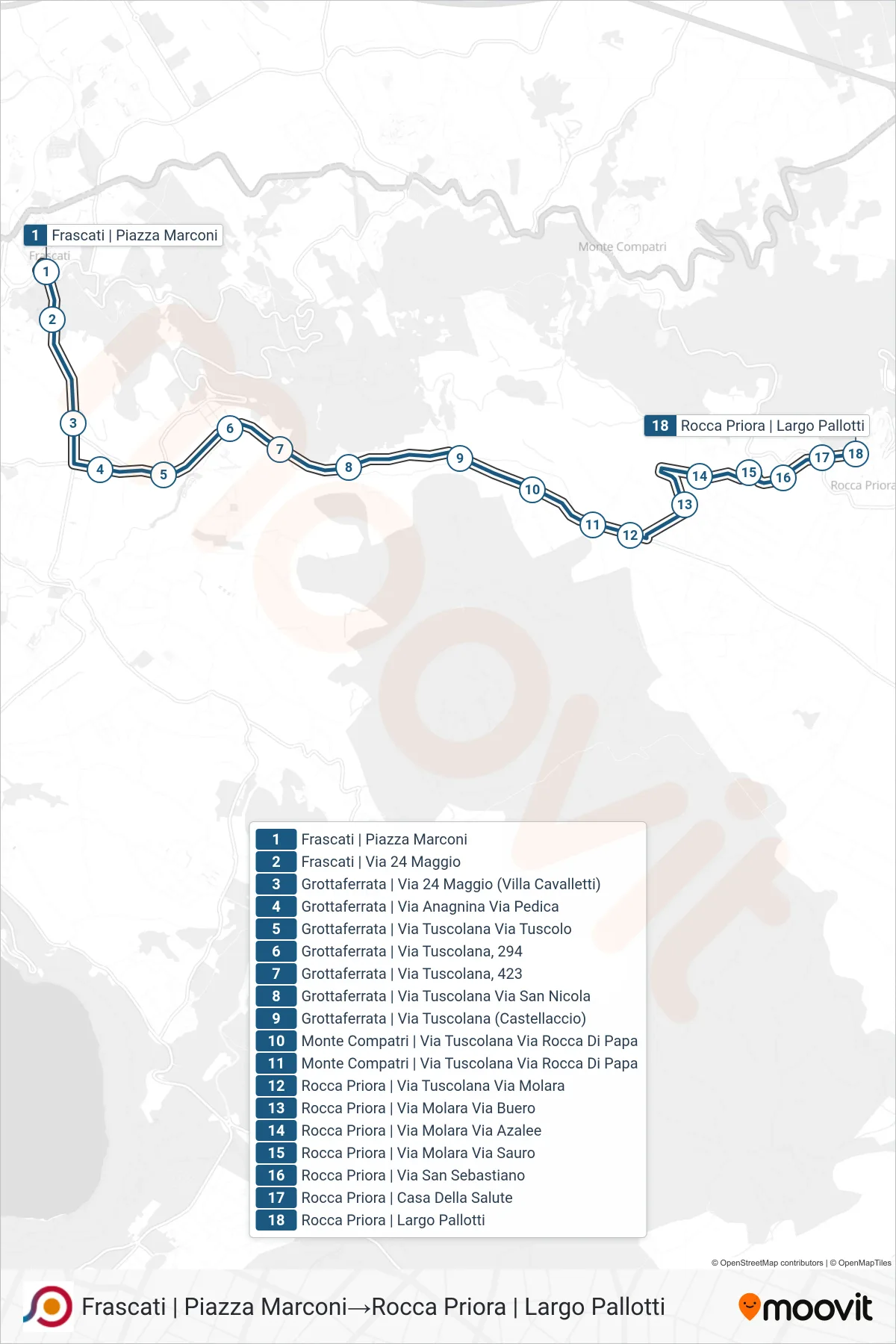
Stops list (COTRAL - Frascati via Piazza Marconi→Rocca Priora via Largo Pallotti)
- Frascati via Piazza Marconi
- Frascati | Viale V. Veneto (Hotel Flora)
- Frascati | Via Manara (FS Station) | Ugo Foscolo High School
- Frascati | Pantaleoni Vocational Institute
- Monte Porzio | Frascati Road (Armetta)
- Monte Porzio | Barco Borghese
- Monte Porzio | Frascati Street Selve Mondragone
- Monte Porzio | Frascati Road (Observatory)
- Monte Porzio | Frascati St Coppellette St
- Monte Porzio | Frascati Street Majorana Street
- Monte Porzio | Frascati Street
- Via Montecompatri - Via Palocci, Monte Porzio
- Monte Porzio | Via Montecompatri, 31
- Monte Compatri | Ciuffa Street
- Monte Compatri | Garibaldi Square
- Monte Compatri | Oberdan Street Serranti Street
- Monte Compatri | Oberdan Street, 100
- Monte Compatri | Cemetery
- Rocca Priora | Castelli Street Bel Poggio Street
- Rocca Priora/Via Castelli Via Soland
- Rocca Priora | Health House
- Rocca Priora via Largo Pallotti