
COTRAL Bus Route Map
View the COTRAL route map and see all COTRAL stops along the route. The map of COTRAL shows where the bus travels and the location of each stop, making it easy to understand the entire route at a glance.
Explore Cotral routes on the map and see where Cotral bus services operate. Use the COTRAL map to find bus stops and see how the COTRAL connects different areas along its trip.
All COTRAL stops on the map are displayed in route order, helping you follow the COTRAL bus from the first stop to the last.
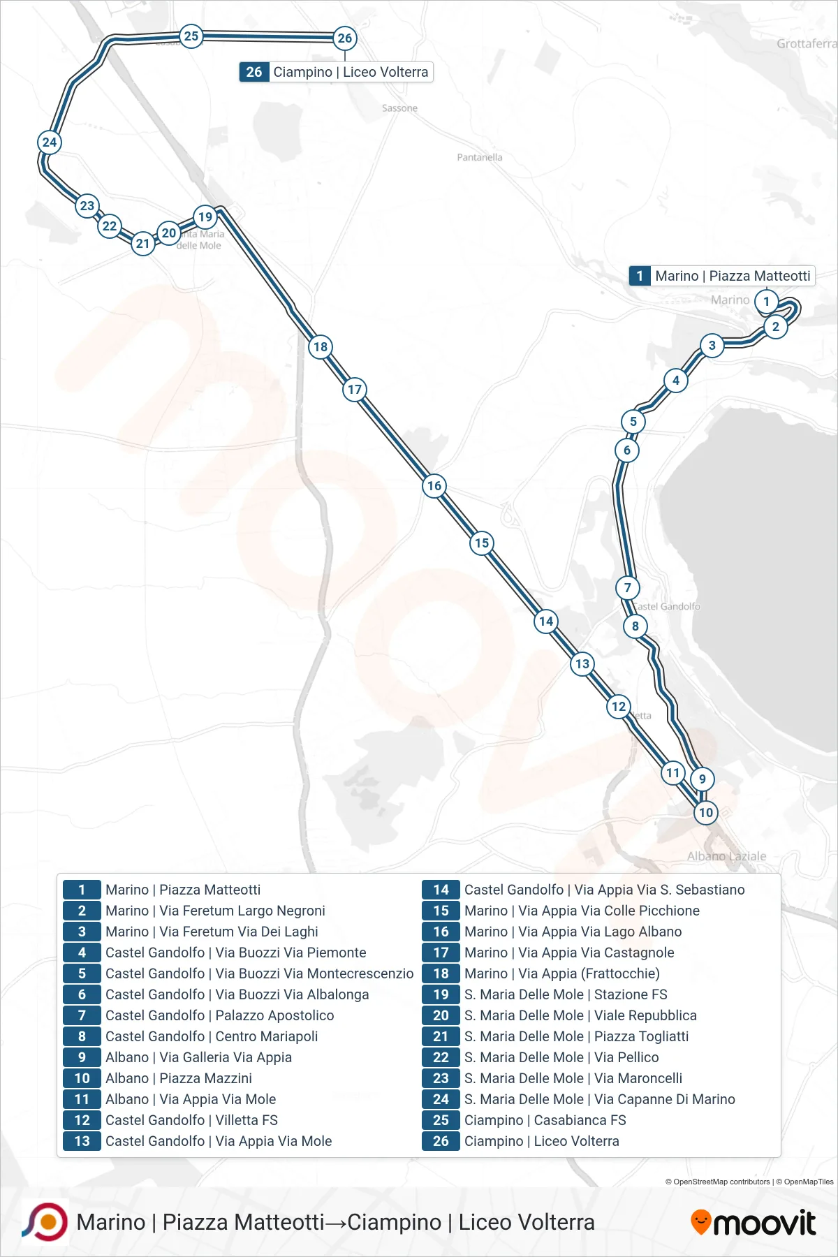
Stops list (COTRAL - Marino Matteotti Square→Ciampino Volterra High School)
- Marino Matteotti Square
- Marino | Via Feretum Negroni Square
- Marino | Feretum Street Lakes Street
- Castel Gandolfo | Buozzi Street Piedmont Street
- Castel Gandolfo | Buozzi Street Montecrescenzio Street
- Castel Gandolfo | Buozzi Road Albalonga Road
- Castel Gandolfo | Apostolic Palace
- Castel Gandolfo | Mariapoli Center
- Albano | Gallery Road Appian Way
- Albano via Piazza Mazzini
- Albano | Appia Road Mole Street
- Castel Gandolfo | Villetta Station
- Castel Gandolfo | Appian Way Mole Road
- Castel Gandolfo | Appia Road Via S. Sebastiano
- Marino | Appia Street Via Colle Picchione
- Marino | Appia Street Lago Albano Street
- Marino | Appia Street Castagnole Street
- Marino | Appia St (Frattocchie)
- Santa Maria Delle Mole Railway Station
- Saint Mary of the Mole, Republic Avenue
- Saint Maria Delle Mole | Togliatti Square
- Santa Maria Delle Mole | Pellico Street
- Santa Maria Delle Mole | Maroncelli St
- Santa Maria Delle Mole | Capanne Di Marino Road
- Ciampino | Casabianca Station
- Ciampino Volterra High School