
COTRAL Bus Route Map
View the COTRAL route map and see all COTRAL stops along the route. The map of COTRAL shows where the bus travels and the location of each stop, making it easy to understand the entire route at a glance.
Explore Cotral routes on the map and see where Cotral bus services operate. Use the COTRAL map to find bus stops and see how the COTRAL connects different areas along its trip.
All COTRAL stops on the map are displayed in route order, helping you follow the COTRAL bus from the first stop to the last.
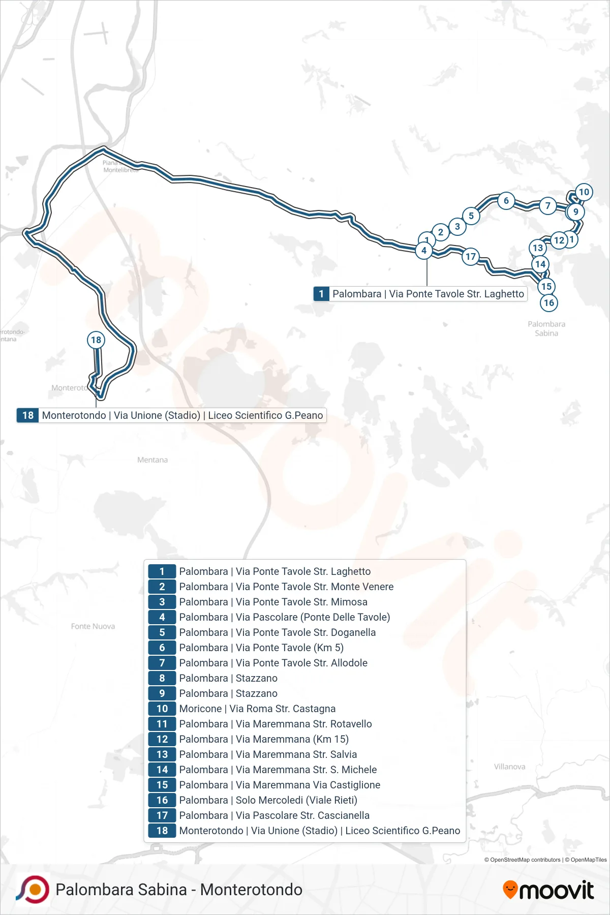
Stops list (COTRAL - Palombara | Via Pascolare (Bridge of Tables)→Monterotondo Via Unione (Stadium) G.Peano Scientific High School)
- Palombara | Via Pascolare (Bridge of Tables)
- Palombara | Ponte Tavole Street Monte Venere Road
- Palombara | Ponte Tavole Street Mimosa Street
- Palombara | Bridge Tables Street Doganella Road
- Palombara | Ponte Tavole Road (Km 5)
- Palombara | Bridge Tables Street Larks Road
- Palombara - Stazzano
- Palombara - Stazzano
- Moricone | Roma Street Chestnut Road
- Palombara | Maremmana Street Rotavello Road
- Palombara - Maremmana Road (Km 15)
- Palombara | Maremmana Road Salvia Street
- Palombara | Maremmana Road St. Michele
- Palombara | Maremmana Street Castiglione Street
- Palombara | Wednesdays Only (Rieti Avenue)
- Palombara | Pascolare Street Cascianella Road
- Palombara | Via Pascolare (Bridge of Tables)
- Monterotondo Via Unione (Stadium) G.Peano Scientific High School