
COTRAL Bus Route Map
View the COTRAL route map and see all COTRAL stops along the route. The map of COTRAL shows where the bus travels and the location of each stop, making it easy to understand the entire route at a glance.
Explore Cotral routes on the map and see where Cotral bus services operate. Use the COTRAL map to find bus stops and see how the COTRAL connects different areas along its trip.
All COTRAL stops on the map are displayed in route order, helping you follow the COTRAL bus from the first stop to the last.
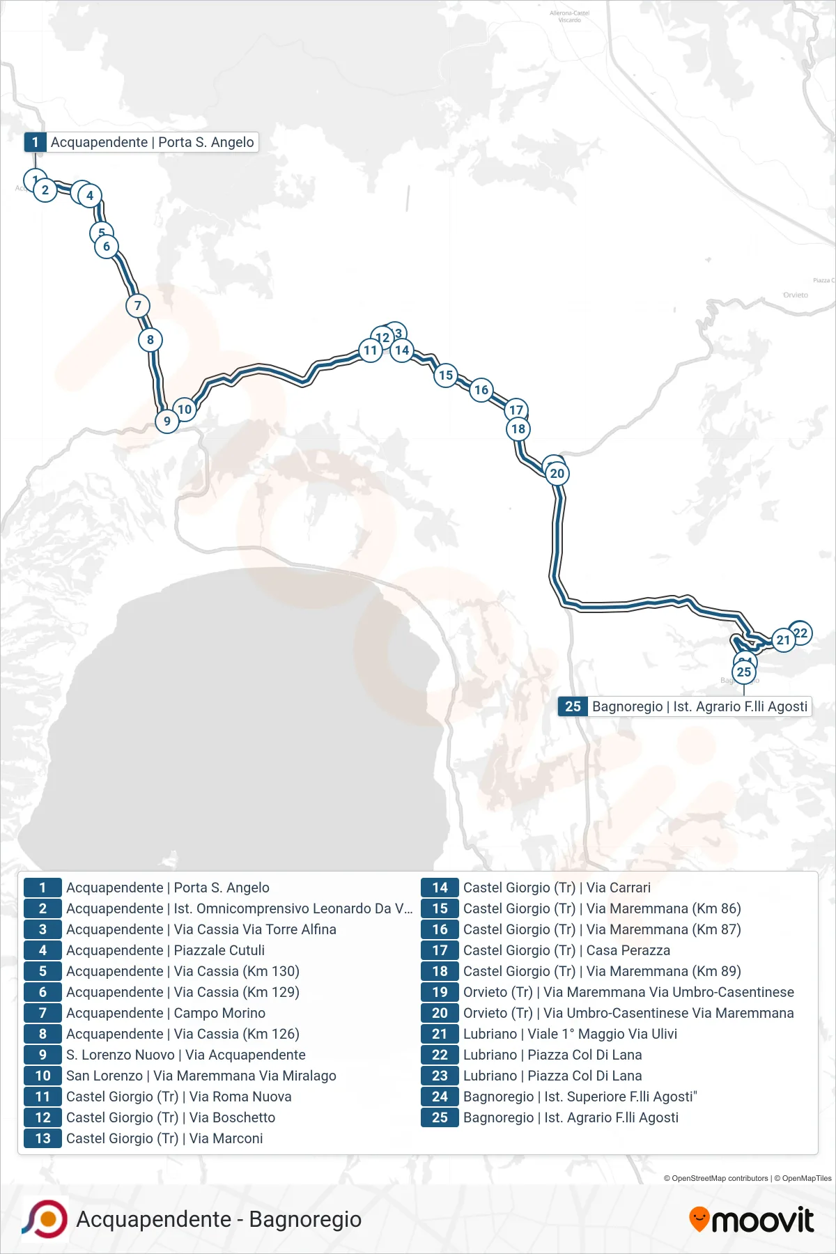
Stops list (COTRAL - Acquapendente | Porta S. Angelo→Bagnoregio | Ist. Agrario F.lli Agosti)
- Acquapendente | Porta S. Angelo
- Acquapendente | Leonardo Da Vinci School
- Acquapendente | Cassia Road Torre Alfina Road
- Acquapendente | Cutuli Square
- Acquapendente | Cassia Road (Km 130)
- Acquapendente | Cassia Road (Km 129)
- Acquapendente - Campo Morino
- Acquapendente | Cassia Road (Km 126)
- San Lorenzo Nuovo | Acquapendente Street
- San Lorenzo | Maremmana Street Miralago Street
- Castel Giorgio (Tr) | New Rome Road
- Castel Giorgio (Tr) | Via Boschetto
- Castel Giorgio (Tr) | Via Marconi
- Castel Giorgio | Carrari Road
- Castel Giorgio (TR) | Maremmana Road (Km 86)
- Castel Giorgio | Maremmana Road (Km 87)
- Casa Perazza - Castel Giorgio
- Castel Giorgio | Maremmana Road (Km 89)
- Orvieto (Tr) | Maremmana Street Umbro-Casentinese Street
- Orvieto (Tr) | Umbro-Casentinese Road Maremmana Road
- Lubriano | 1st May Avenue Olive Street
- Lubriano | Piazza Col Di Lana
- Lubriano | Piazza Col Di Lana
- Bagnoregio F.lli Agosti High School
- Bagnoregio | Ist. Agrario F.lli Agosti