
CS Bus Route Map
View the CS route map and see all CS stops along the route. The map of CS shows where the bus travels and the location of each stop, making it easy to understand the entire route at a glance.
Explore University of Michigan Transportation Services routes on the map and see where University of Michigan Transportation Services bus services operate. Use the CS map to find bus stops and see how the CS connects different areas along its trip.
All CS stops on the map are displayed in route order, helping you follow the CS bus from the first stop to the last.
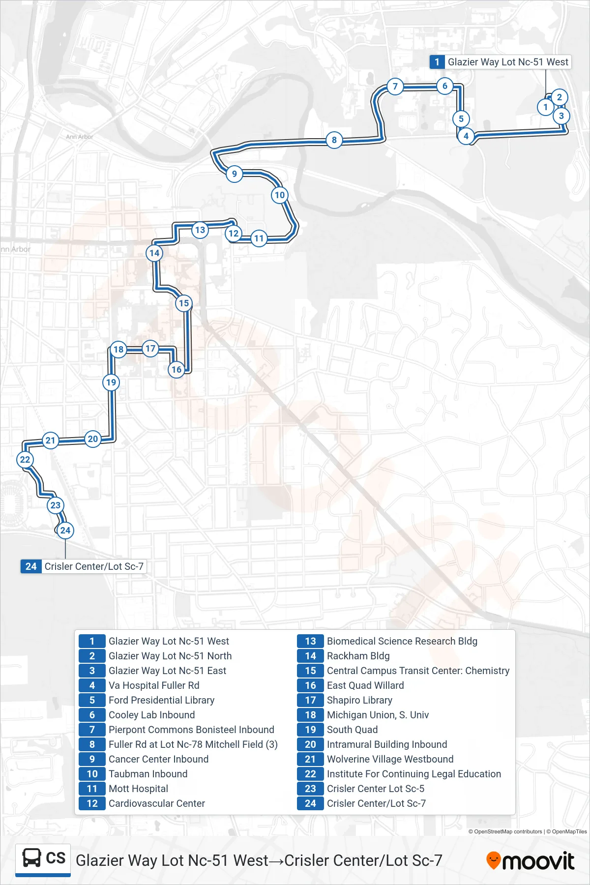
Stops list (CS - Glazier Way Lot Nc-51 West→Crisler Center/Lot Sc-7)
- Glazier Way Lot Nc-51 West
- Glazier Way Lot Nc-51 North
- Glazier Way Lot Nc-51 East
- Va Hospital Fuller Rd
- Ford Presidential Library
- Cooley Lab Inbound
- Pierpont Commons Bonisteel Inbound
- Fuller Rd at Lot Nc-78 Mitchell Field (3)
- Cancer Center Inbound
- Taubman Inbound
- Mott Hospital
- Cardiovascular Center
- Biomedical Science Research Bldg
- Rackham Bldg
- Central Campus Transit Center: Chemistry
- East Quad Willard
- Shapiro Library
- Michigan Union, S. Univ
- South Quad
- Intramural Building Inbound
- Wolverine Village Westbound
- Institute For Continuing Legal Education
- Crisler Center Lot Sc-5
- Crisler Center/Lot Sc-7