
D1 Metro Route Map
View the D1 route map and see all D1 stops along the route. The map of D1 shows where the metro travels and the location of each stop, making it easy to understand the entire route at a glance.
Explore SEPTA Subway routes on the map and see where SEPTA Subway metro services operate. Use the D1 map to find metro stations and see how the D1 connects different areas along its trip.
All D1 stops on the map are displayed in route order, helping you follow the D1 metro from the first station to the last.
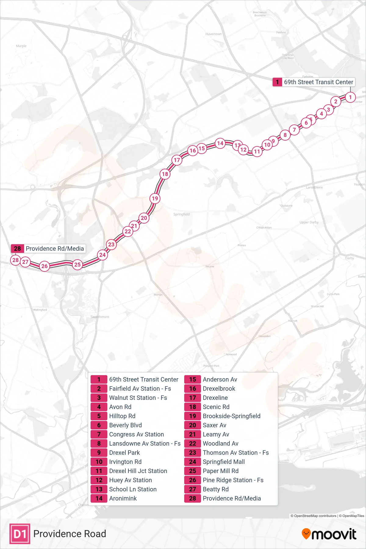
Stops list (D1 - Providence Road)
- 69th Street Transit Center
- Fairfield Av Station - Fs
- Walnut St Station - Fs
- Avon Rd
- Hilltop Rd
- Beverly Blvd
- Congress Av Station
- Lansdowne Av Station - Fs
- Drexel Park
- Irvington Rd
- Drexel Hill Jct Station
- Huey Av Station
- School Ln Station
- Aronimink
- Anderson Av
- Drexelbrook
- Drexeline
- Scenic Rd
- Brookside-Springfield
- Saxer Av
- Leamy Av
- Woodland Av
- Thomson Av Station - Fs
- Springfield Mall
- Paper Mill Rd
- Pine Ridge Station - Fs
- Beatty Rd
- Providence Rd/Media