
D2 Bus Route Map
View the D2 route map and see all D2 stops along the route. The map of D2 shows where the bus travels and the location of each stop, making it easy to understand the entire route at a glance.
Explore Astuce (Métropole Rouen Normandie) routes on the map and see where Astuce (Métropole Rouen Normandie) bus services operate. Use the D2 map to find bus stops and see how the D2 connects different areas along its trip.
All D2 stops on the map are displayed in route order, helping you follow the D2 bus from the first stop to the last.
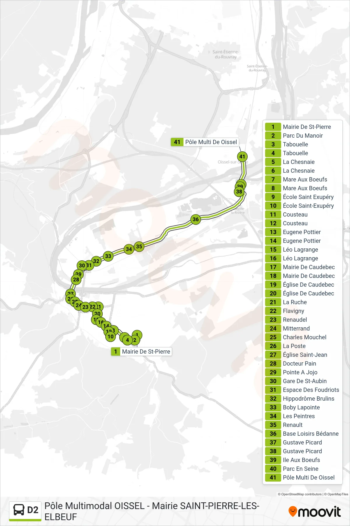
Stops list (D2 - Pôle Multimodal De Oissel)
- Mairie De St-Pierre
- Parc Du Manoir
- Tabouelle
- Tabouelle
- La Chesnaie
- La Chesnaie
- Mare Aux Boeufs
- Mare Aux Boeufs
- École Saint Exupéry
- École Saint-Exupéry
- Cousteau
- Cousteau
- Eugene Pottier
- Eugene Pottier
- Léo Lagrange
- Léo Lagrange
- Mairie De Caudebec
- Mairie De Caudebec
- Église De Caudebec
- Église De Caudebec
- La Ruche
- Flavigny
- Renaudel
- Mitterrand
- Charles Mouchel
- La Poste
- Église Saint-Jean
- Docteur Pain
- Pointe A Jojo
- Gare De St-Aubin
- Espace Des Foudriots
- Hippodrôme Brulins
- Boby Lapointe
- Les Peintres
- Renault
- Base Loisirs Bédanne
- Gustave Picard
- Gustave Picard
- Ile Aux Boeufs
- Parc En Seine
- Pôle Multi De Oissel