
D90 Bus Route Map
View the D90 route map and see all D90 stops along the route. The map of D90 shows where the bus travels and the location of each stop, making it easy to understand the entire route at a glance.
Explore WMATA routes on the map and see where WMATA bus services operate. Use the D90 map to find bus stops and see how the D90 connects different areas along its trip.
All D90 stops on the map are displayed in route order, helping you follow the D90 bus from the first stop to the last.
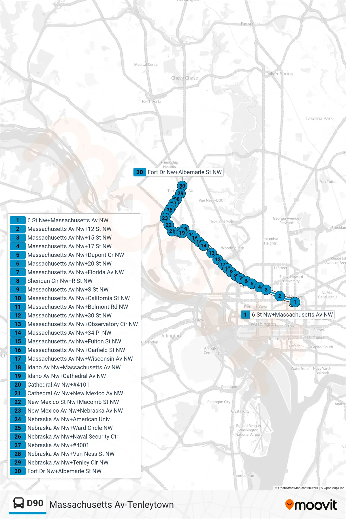
Stops list (D90 - West To Tenleytown)
- 6 St Nw+Massachusetts Av NW
- Massachusetts Av Nw+12 St NW
- Massachusetts Av Nw+15 St NW
- Massachusetts Av Nw+17 St NW
- Massachusetts Av Nw+Dupont Cr NW
- Massachusetts Av Nw+20 St NW
- Massachusetts Av Nw+Florida Av NW
- Sheridan Cir Nw+R St NW
- Massachusetts Av Nw+S St NW
- Massachusetts Av Nw+California St NW
- Massachusetts Av Nw+Belmont Rd NW
- Massachusetts Av Nw+30 St NW
- Massachusetts Av Nw+Observatory Cir NW
- Massachusetts Av Nw+34 Pl NW
- Massachusetts Av Nw+Fulton St NW
- Massachusetts Av Nw+Garfield St NW
- Massachusetts Av Nw+Wisconsin Av NW
- Idaho Av Nw+Massachusetts Av NW
- Idaho Av Nw+Cathedral Av NW
- Cathedral Av Nw+#4101
- Cathedral Av Nw+New Mexico Av NW
- New Mexico St Nw+Macomb St NW
- New Mexico Av Nw+Nebraska Av NW
- Nebraska Av Nw+American Univ
- Nebraska Av Nw+Ward Circle NW
- Nebraska Av Nw+Naval Security Ctr
- Nebraska Av Nw+#4001
- Nebraska Av Nw+Van Ness St NW
- Nebraska Av Nw+Tenley Cir NW
- Fort Dr Nw+Albemarle St NW