
E Rail Route Map
View the E route map and see all E stops along the route. The map of E shows where the rail travels and the location of each stop, making it easy to understand the entire route at a glance.
Explore DSB S-tog routes on the map and see where DSB S-tog rail services operate. Use the E map to find rail stations and see how the E connects different areas along its trip.
All E stops on the map are displayed in route order, helping you follow the E rail from the first station to the last.
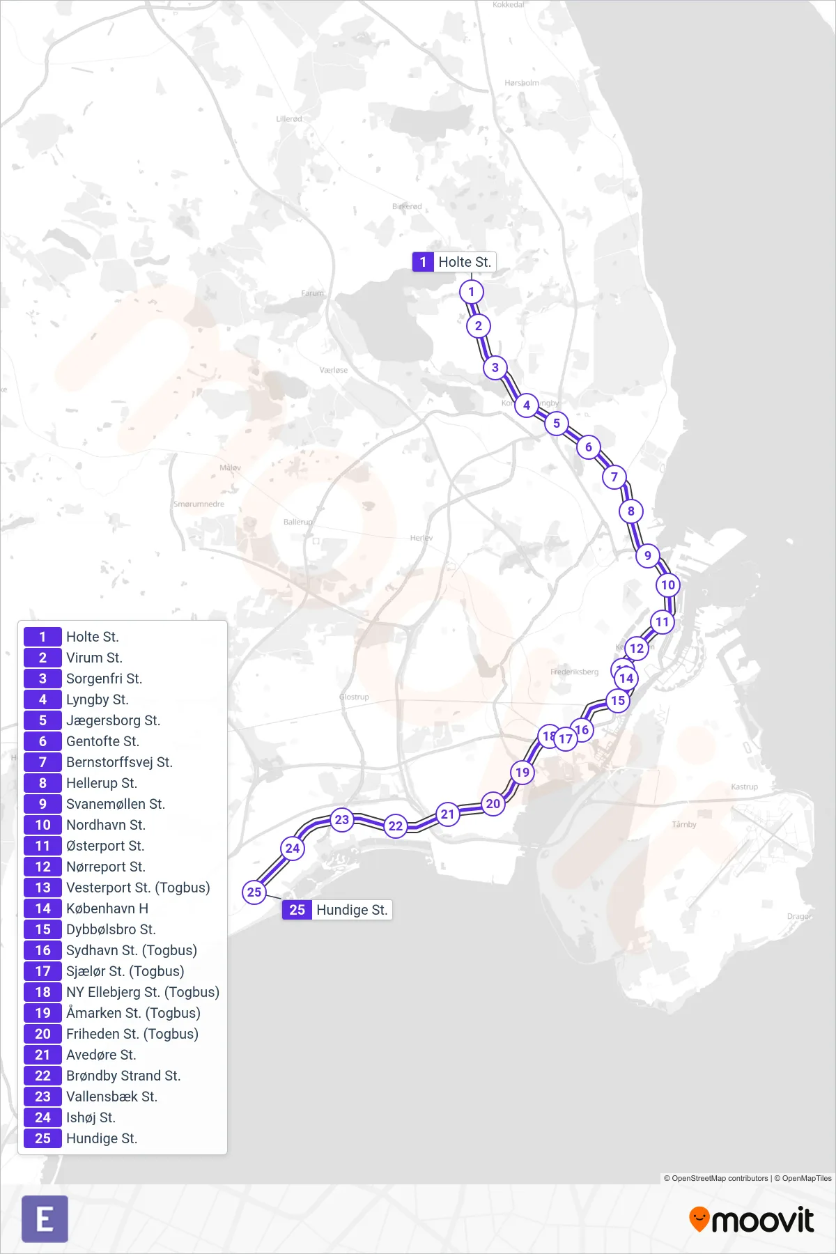
Stops list (E - Hundige St.)
- Holte St.
- Virum St.
- Sorgenfri St.
- Lyngby St.
- Jægersborg St.
- Gentofte St.
- Bernstorffsvej St.
- Hellerup St.
- Svanemøllen St.
- Nordhavn St.
- Østerport St.
- Nørreport St.
- Vesterport St. (Togbus)
- København H
- Dybbølsbro St.
- Sydhavn St. (Togbus)
- Sjælør St. (Togbus)
- NY Ellebjerg St. (Togbus)
- Åmarken St. (Togbus)
- Friheden St. (Togbus)
- Avedøre St.
- Brøndby Strand St.
- Vallensbæk St.
- Ishøj St.
- Hundige St.