
E Tram Route Map
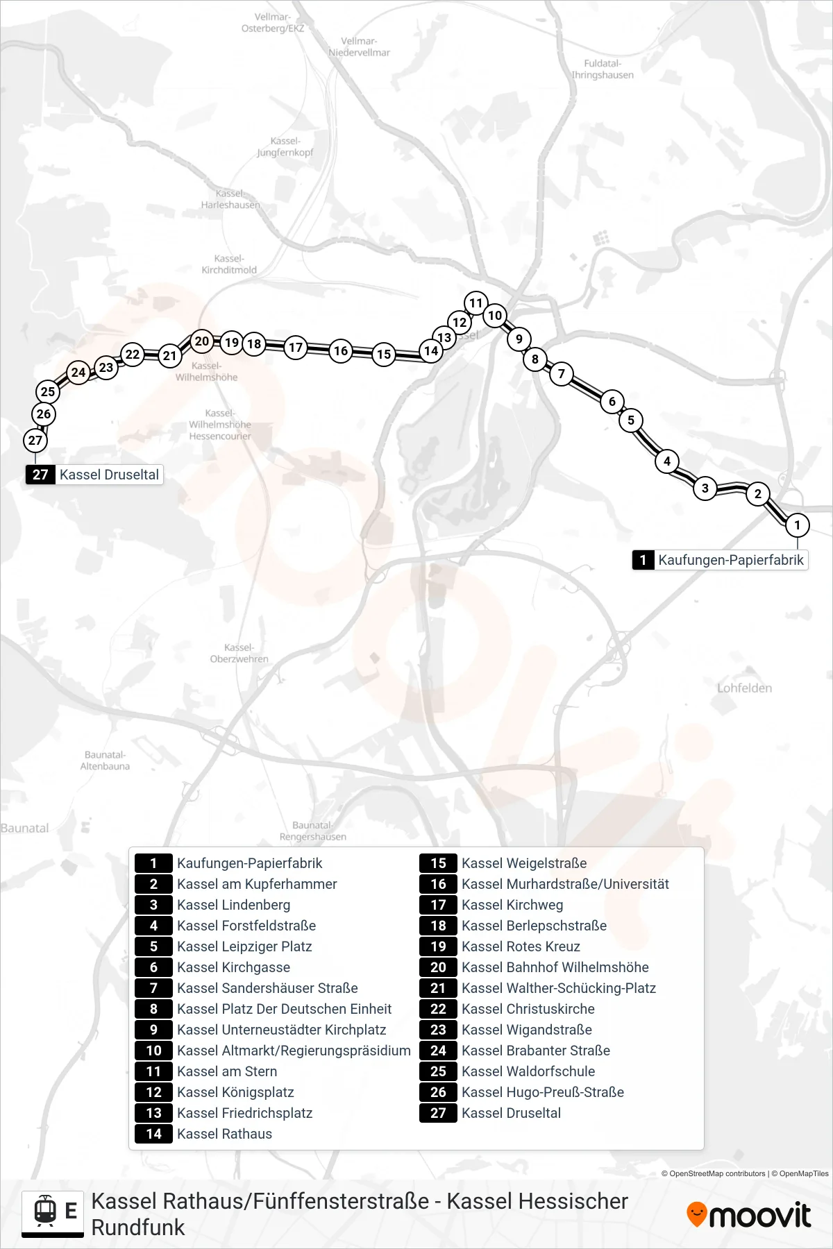
View the E route map and see all E stops along the route. The map of E shows where the tram travels and the location of each stop, making it easy to understand the entire route at a glance.
Explore KVG Tram routes on the map and see where KVG Tram tram services operate. Use the E map to find tram stations and see how the E connects different areas along its trip.
All E stops on the map are displayed in route order, helping you follow the E tram from the first station to the last.
Stops list (E - Kassel Druseltal)
- Kaufungen-Papierfabrik
- Kassel am Kupferhammer
- Kassel Lindenberg
- Kassel Forstfeldstraße
- Kassel Leipziger Platz
- Kassel Kirchgasse
- Kassel Sandershäuser Straße
- Kassel Platz Der Deutschen Einheit
- Kassel Unterneustädter Kirchplatz
- Kassel Altmarkt/Regierungspräsidium
- Kassel am Stern
- Kassel Königsplatz
- Kassel Friedrichsplatz
- Kassel Rathaus
- Kassel Weigelstraße
- Kassel Murhardstraße/Universität
- Kassel Kirchweg
- Kassel Berlepschstraße
- Kassel Rotes Kreuz
- Kassel Bahnhof Wilhelmshöhe
- Kassel Walther-Schücking-Platz
- Kassel Christuskirche
- Kassel Wigandstraße
- Kassel Brabanter Straße
- Kassel Waldorfschule
- Kassel Hugo-Preuß-Straße
- Kassel Druseltal