
E Light Rail Route Map
View the E route map and see all E stops along the route. The map of E shows where the light rail travels and the location of each stop, making it easy to understand the entire route at a glance.
Explore Tram VBK routes on the map and see where Tram VBK light rail services operate. Use the E map to find light rail stations and see how the E connects different areas along its trip.
All E stops on the map are displayed in route order, helping you follow the E light rail from the first station to the last.
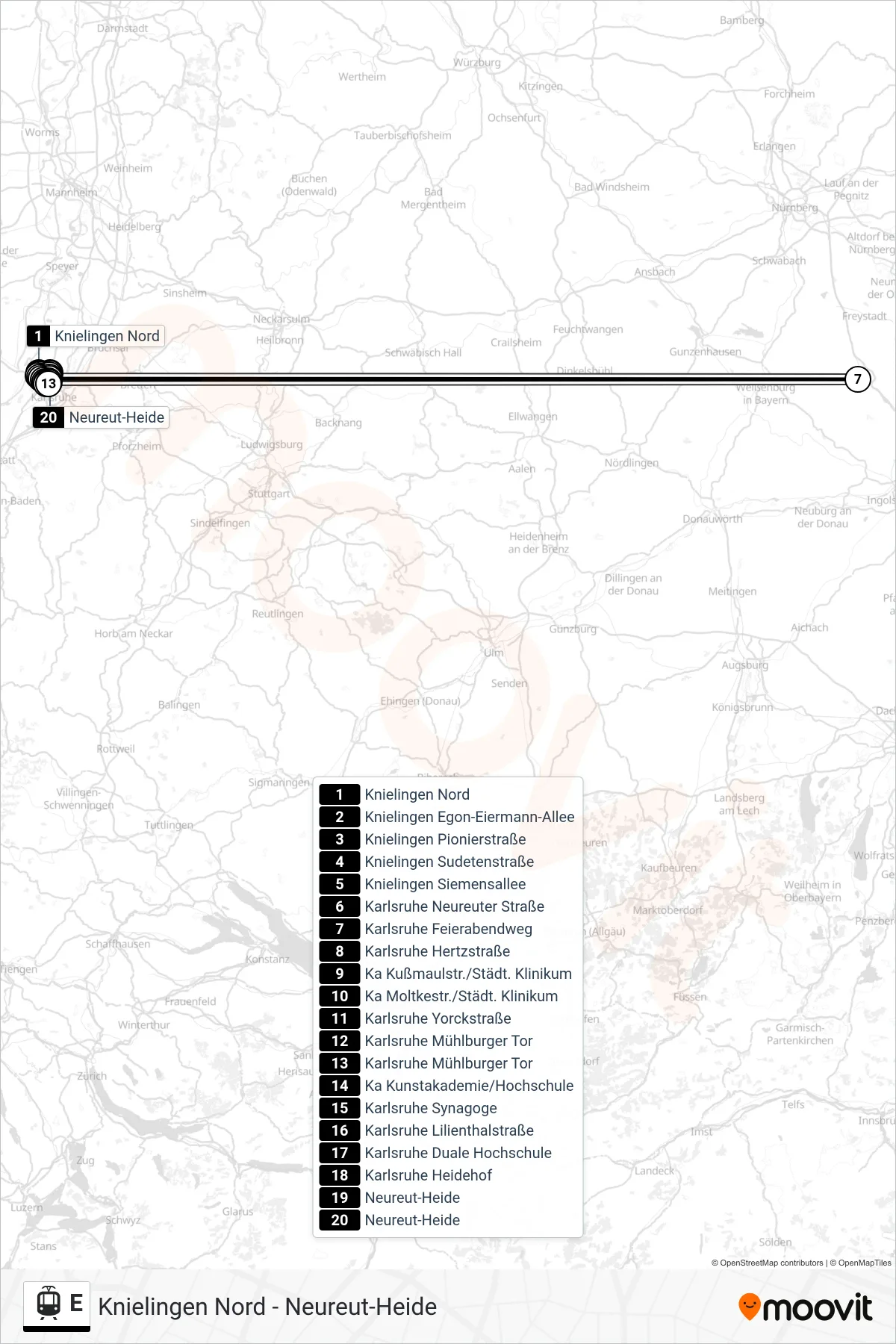
Stops list (E - Neureut-Heide)
- Knielingen Nord
- Knielingen Egon-Eiermann-Allee
- Knielingen Pionierstraße
- Knielingen Sudetenstraße
- Knielingen Siemensallee
- Karlsruhe Neureuter Straße
- Karlsruhe Feierabendweg
- Karlsruhe Hertzstraße
- Ka Kußmaulstr./Städt. Klinikum
- Ka Moltkestr./Städt. Klinikum
- Karlsruhe Yorckstraße
- Karlsruhe Mühlburger Tor
- Karlsruhe Mühlburger Tor
- Ka Kunstakademie/Hochschule
- Karlsruhe Synagoge
- Karlsruhe Lilienthalstraße
- Karlsruhe Duale Hochschule
- Karlsruhe Heidehof
- Neureut-Heide
- Neureut-Heide