
E Subway Route Map
View the E route map and see all E stops along the route. The map of E shows where the subway travels and the location of each stop, making it easy to understand the entire route at a glance.
Explore MTA Subway routes on the map and see where MTA Subway subway services operate. Use the E map to find subway stations and see how the E connects different areas along its trip.
All E stops on the map are displayed in route order, helping you follow the E subway from the first station to the last.
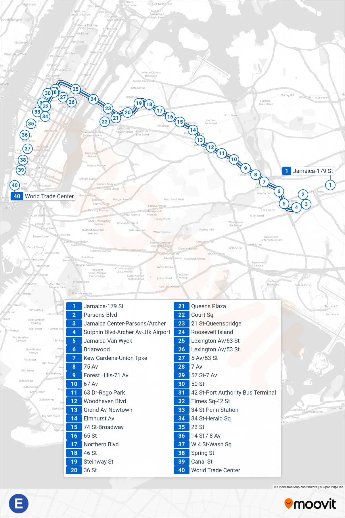
Stops list (E - Downtown & Brooklyn)
- Jamaica-179 St
- Parsons Blvd
- Jamaica Center-York College
- Sutphin Blvd-Archer Av-Jfk Airport
- Jamaica-Van Wyck
- Briarwood
- Kew Gardens-Union Tpke
- 75 Av
- Forest Hills-71 Av
- 67 Av
- 63 Dr-Rego Park
- Woodhaven Blvd
- Grand Av-Newtown
- Elmhurst Av
- 74 St-Broadway
- 65 St
- Northern Blvd
- 46 St
- Steinway St
- 36 St
- Queens Plaza
- Court Sq
- Lexington Av/53 St
- 5 Av/53 St
- 7 Av
- 50 St
- 42 St-Port Authority Bus Terminal
- 34 St-Penn Station
- 23 St
- 14 St / 8 Av
- W 4 St-Wash Sq
- Spring St
- Canal St
- World Trade Center