
E Metro Route Map
View the E route map and see all E stops along the route. The map of E shows where the metro travels and the location of each stop, making it easy to understand the entire route at a glance.
Explore RET routes on the map and see where RET metro services operate. Use the E map to find metro stations and see how the E connects different areas along its trip.
All E stops on the map are displayed in route order, helping you follow the E metro from the first station to the last.
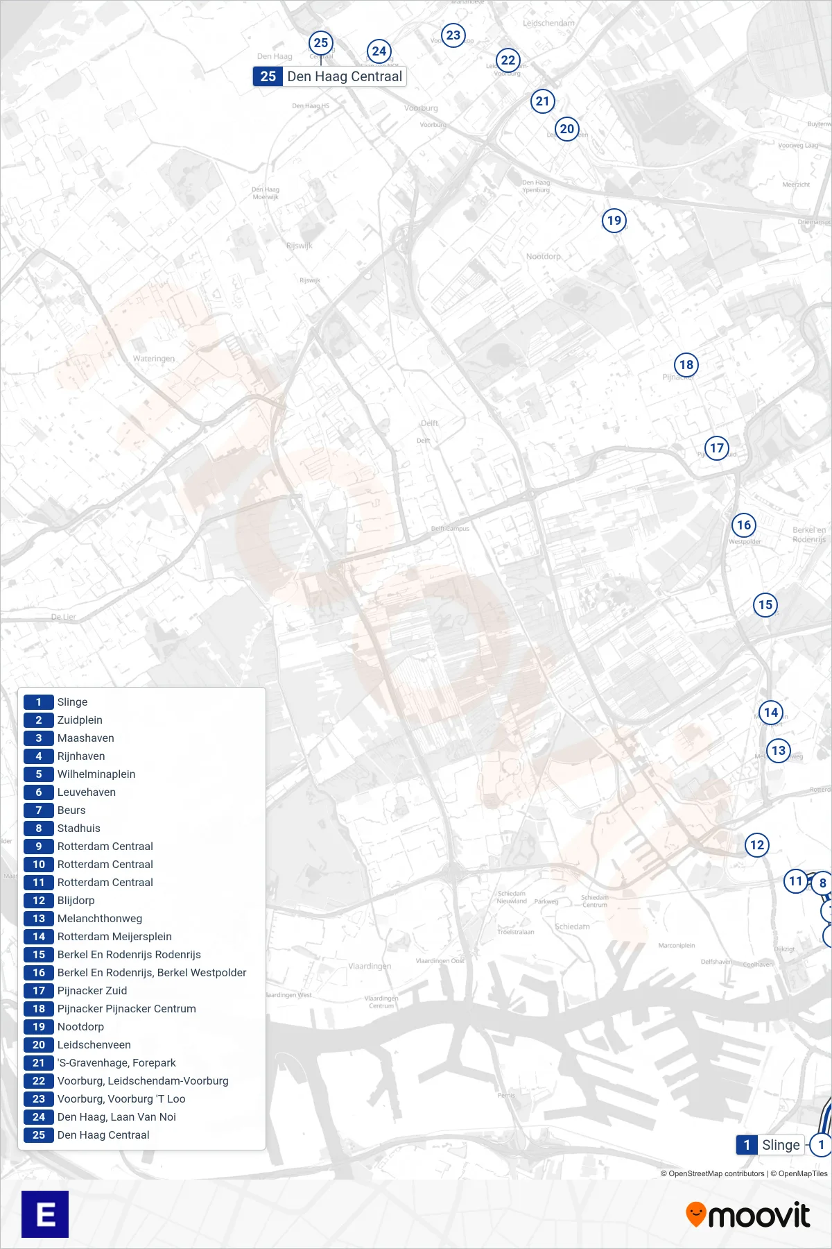
Stops list (E - Den Haag Centraal)
- Slinge
- Zuidplein
- Maashaven
- Rijnhaven
- Wilhelminaplein
- Leuvehaven
- Beurs
- Stadhuis
- Rotterdam Centraal
- Rotterdam Centraal
- Rotterdam Centraal
- Blijdorp
- Melanchthonweg
- Rotterdam Meijersplein
- Berkel En Rodenrijs Rodenrijs
- Berkel En Rodenrijs, Berkel Westpolder
- Pijnacker Zuid
- Pijnacker Pijnacker Centrum
- Nootdorp
- Leidschenveen
- 'S-Gravenhage, Forepark
- Voorburg, Leidschendam-Voorburg
- Voorburg, Voorburg 'T Loo
- Den Haag, Laan Van Noi
- Den Haag Centraal