
E Bus Route Map
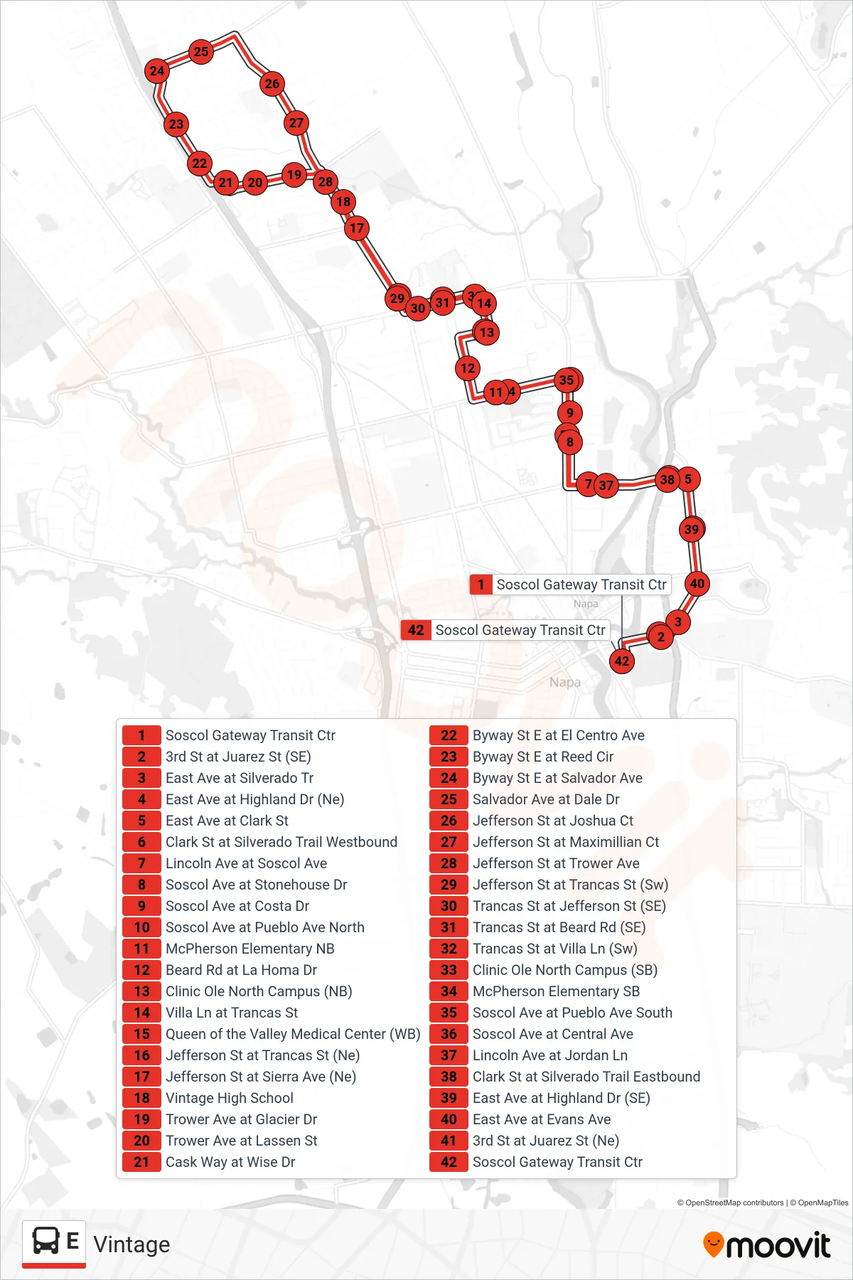
View the E route map and see all E stops along the route. The map of E shows where the bus travels and the location of each stop, making it easy to understand the entire route at a glance.
Explore VINE Transit routes on the map and see where VINE Transit bus services operate. Use the E map to find bus stops and see how the E connects different areas along its trip.
All E stops on the map are displayed in route order, helping you follow the E bus from the first stop to the last.
Stops list (E - Vintage)
- Soscol Gateway Transit Ctr
- 3rd St at Juarez St (SE)
- East Ave at Silverado Tr
- East Ave at Highland Dr (Ne)
- East Ave at Clark St
- Clark St at Silverado Trail Westbound
- Lincoln Ave at Soscol Ave
- Soscol Ave at Stonehouse Dr
- Soscol Ave at Costa Dr
- Soscol Ave at Pueblo Ave North
- McPherson Elementary NB
- Beard Rd at La Homa Dr
- Clinic Ole North Campus (NB)
- Villa Ln at Trancas St
- Queen of the Valley Medical Center (WB)
- Jefferson St at Trancas St (Ne)
- Jefferson St at Sierra Ave (Ne)
- Vintage High School
- Trower Ave at Glacier Dr
- Trower Ave at Lassen St
- Cask Way at Wise Dr
- Byway St E at El Centro Ave
- Byway St E at Reed Cir
- Byway St E at Salvador Ave
- Salvador Ave at Dale Dr
- Jefferson St at Joshua Ct
- Jefferson St at Maximillian Ct
- Jefferson St at Trower Ave
- Jefferson St at Trancas St (Sw)
- Trancas St at Jefferson St (SE)
- Trancas St at Beard Rd (SE)
- Trancas St at Villa Ln (Sw)
- Clinic Ole North Campus (SB)
- McPherson Elementary SB
- Soscol Ave at Pueblo Ave South
- Soscol Ave at Central Ave
- Lincoln Ave at Jordan Ln
- Clark St at Silverado Trail Eastbound
- East Ave at Highland Dr (SE)
- East Ave at Evans Ave
- 3rd St at Juarez St (Ne)
- Soscol Gateway Transit Ctr