
E Bus Route Map
View the E route map and see all E stops along the route. The map of E shows where the bus travels and the location of each stop, making it easy to understand the entire route at a glance.
Explore Rhein-Neckar-Verkehr GmbH (rnv) routes on the map and see where Rhein-Neckar-Verkehr GmbH (rnv) bus services operate. Use the E map to find bus stops and see how the E connects different areas along its trip.
All E stops on the map are displayed in route order, helping you follow the E bus from the first stop to the last.
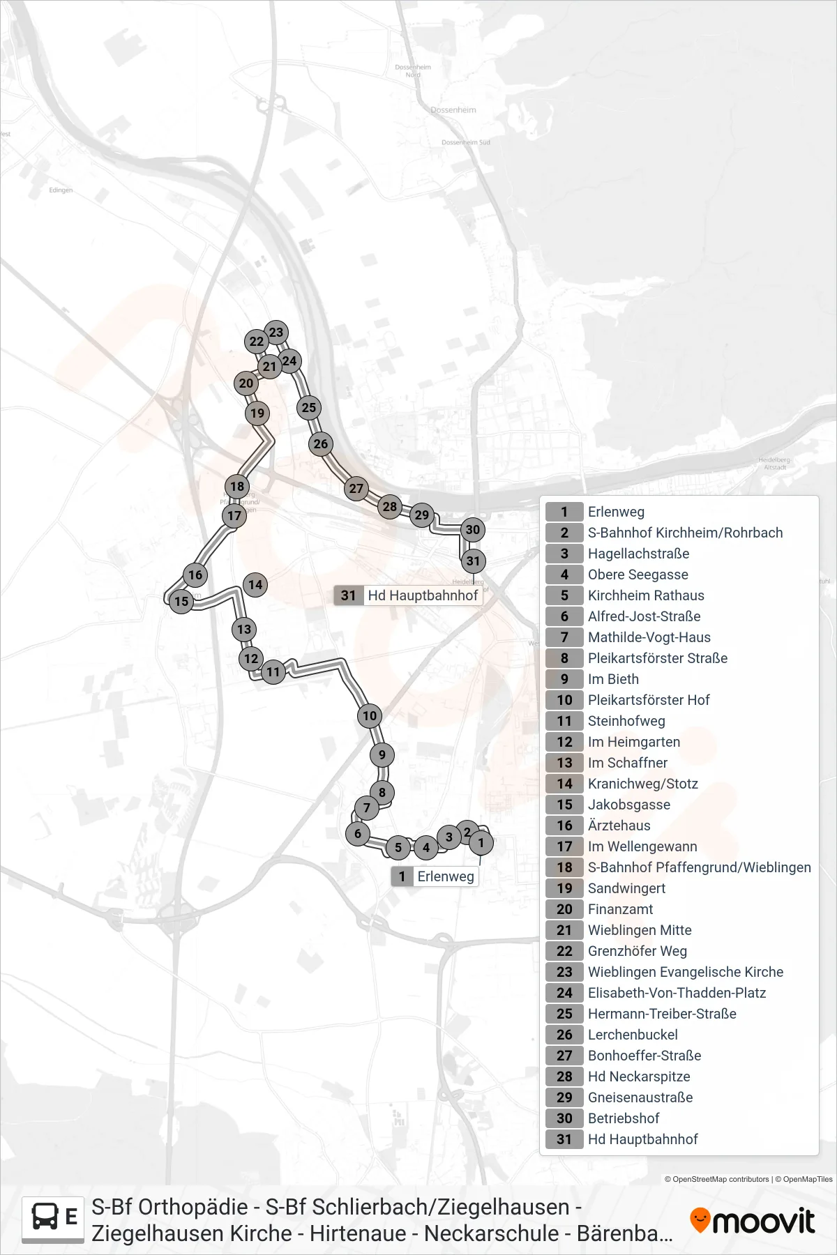
Stops list (E - Hd Hauptbahnhof)
- Erlenweg
- S-Bahnhof Kirchheim/Rohrbach
- Hagellachstraße
- Obere Seegasse
- Kirchheim Rathaus
- Alfred-Jost-Straße
- Mathilde-Vogt-Haus
- Pleikartsförster Straße
- Im Bieth
- Pleikartsförster Hof
- Steinhofweg
- Im Heimgarten
- Im Schaffner
- Kranichweg/Stotz
- Jakobsgasse
- Ärztehaus
- Im Wellengewann
- S-Bahnhof Pfaffengrund/Wieblingen
- Sandwingert
- Finanzamt
- Wieblingen Mitte
- Grenzhöfer Weg
- Wieblingen Evangelische Kirche
- Elisabeth-Von-Thadden-Platz
- Hermann-Treiber-Straße
- Lerchenbuckel
- Bonhoeffer-Straße
- Hd Neckarspitze
- Gneisenaustraße
- Betriebshof
- Hd Hauptbahnhof