
E Bus Route Map
View the E route map and see all E stops along the route. The map of E shows where the bus travels and the location of each stop, making it easy to understand the entire route at a glance.
Explore SWU routes on the map and see where SWU bus services operate. Use the E map to find bus stops and see how the E connects different areas along its trip.
All E stops on the map are displayed in route order, helping you follow the E bus from the first stop to the last.
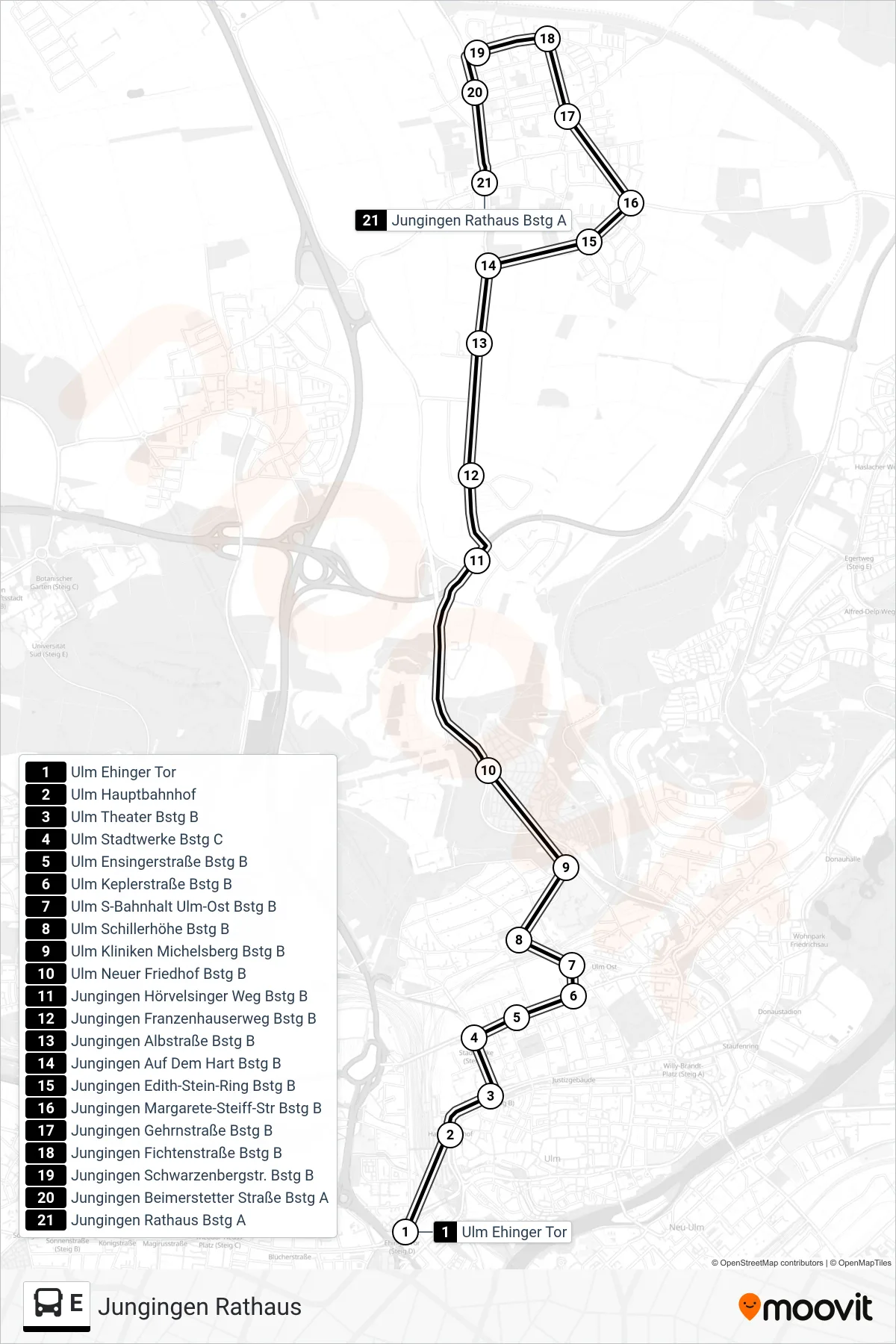
Stops list (E - Jungingen Rathaus)
- Ulm Ehinger Tor
- Ulm Hauptbahnhof
- Ulm Theater Bstg B
- Ulm Stadtwerke Bstg C
- Ulm Ensingerstraße Bstg B
- Ulm Keplerstraße Bstg B
- Ulm S-Bahnhalt Ulm-Ost Bstg B
- Ulm Schillerhöhe Bstg B
- Ulm Kliniken Michelsberg Bstg B
- Ulm Neuer Friedhof Bstg B
- Jungingen Hörvelsinger Weg Bstg B
- Jungingen Franzenhauserweg Bstg B
- Jungingen Albstraße Bstg B
- Jungingen Auf Dem Hart Bstg B
- Jungingen Edith-Stein-Ring Bstg B
- Jungingen Margarete-Steiff-Str Bstg B
- Jungingen Gehrnstraße Bstg B
- Jungingen Fichtenstraße Bstg B
- Jungingen Schwarzenbergstr. Bstg B
- Jungingen Beimerstetter Straße Bstg A
- Jungingen Rathaus Bstg A
Change direction
- Route Map - E - Ulm Universität Süd
- Route Map - E - Ulm Ehinger Tor
- Route Map - E - Ulm Söflinger Weinberge
- Route Map - E - Dellmensingen Hirsch
- Route Map - E - Ulm Zob
- Route Map - E - Ulm Willy-Brandt-Platz
- Route Map - E - Ulm Congress Centrum
- Route Map - E - Ulm Kuhberg Schulzentrum
- Route Map - E - Ulm Ehinger Tor
- Route Map - E - Ulm Hauptbahnhof
- Route Map - E - Wiblingen Kemptener Straße