
E1 Bus Route Map
View the E1 route map and see all E1 stops along the route. The map of E1 shows where the bus travels and the location of each stop, making it easy to understand the entire route at a glance.
Explore T2C routes on the map and see where T2C bus services operate. Use the E1 map to find bus stops and see how the E1 connects different areas along its trip.
All E1 stops on the map are displayed in route order, helping you follow the E1 bus from the first stop to the last.
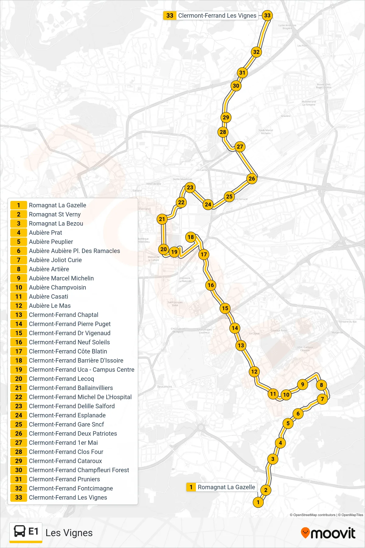
Stops list (E1 - Les Vignes)
- Romagnat La Gazelle
- Romagnat St Verny
- Romagnat La Bezou
- Aubière Prat
- Aubière Peuplier
- Aubière Aubière Pl. Des Ramacles
- Aubière Joliot Curie
- Aubière Artière
- Aubière Marcel Michelin
- Aubière Champvoisin
- Aubière Casati
- Aubière Le Mas
- Clermont-Ferrand Chaptal
- Clermont-Ferrand Pierre Puget
- Clermont-Ferrand Dr Vigenaud
- Clermont-Ferrand Neuf Soleils
- Clermont-Ferrand Côte Blatin
- Clermont-Ferrand Barrière D'Issoire
- Clermont-Ferrand Uca - Campus Centre
- Clermont-Ferrand Lecoq
- Clermont-Ferrand Ballainvilliers
- Clermont-Ferrand Michel De L'Hospital
- Clermont-Ferrand Delille Salford
- Clermont-Ferrand Esplanade
- Clermont-Ferrand Gare Sncf
- Clermont-Ferrand Deux Patriotes
- Clermont-Ferrand 1er Mai
- Clermont-Ferrand Clos Four
- Clermont-Ferrand Cataroux
- Clermont-Ferrand Champfleuri Forest
- Clermont-Ferrand Pruniers
- Clermont-Ferrand Fontcimagne
- Clermont-Ferrand Les Vignes