
E2 Bus Route Map
View the E2 route map and see all E2 stops along the route. The map of E2 shows where the bus travels and the location of each stop, making it easy to understand the entire route at a glance.
Explore Bus Átha Cliath – Dublin Bus routes on the map and see where Bus Átha Cliath – Dublin Bus bus services operate. Use the E2 map to find bus stops and see how the E2 connects different areas along its trip.
All E2 stops on the map are displayed in route order, helping you follow the E2 bus from the first stop to the last.
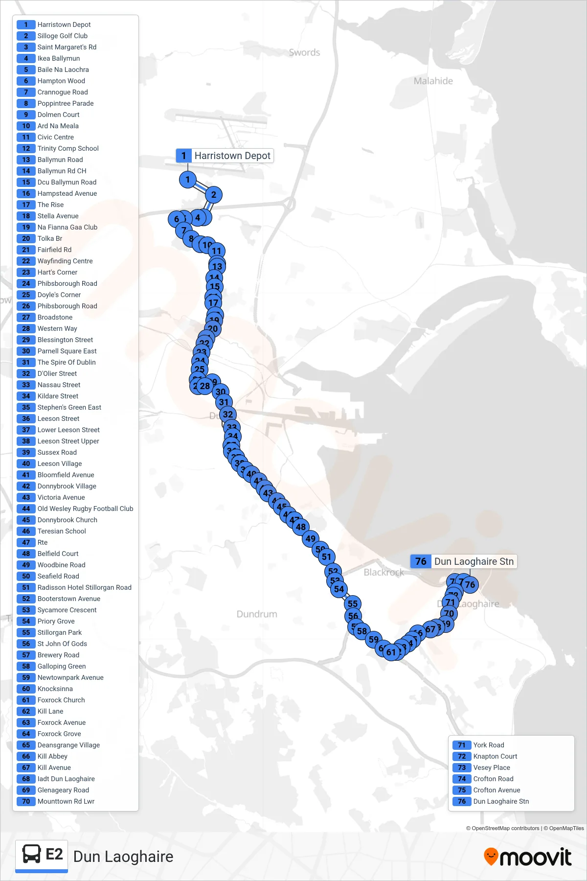
Stops list (E2 - Dun Laoghaire)
- Harristown Depot
- Silloge Golf Club
- Saint Margaret's Rd
- Ikea Ballymun
- Baile Na Laochra
- Hampton Wood
- Crannogue Road
- Poppintree Parade
- Dolmen Court
- Ard Na Meala
- Civic Centre
- Trinity Comp School
- Ballymun Road
- Ballymun Rd CH
- Dcu Ballymun Road
- Hampstead Avenue
- The Rise
- Stella Avenue
- Na Fianna Gaa Club
- Tolka Br
- Fairfield Rd
- Wayfinding Centre
- Hart's Corner
- Phibsborough Road
- Doyle's Corner
- Phibsborough Road
- Broadstone
- Western Way
- Blessington Street
- Parnell Square East
- The Spire Of Dublin
- D'Olier Street
- Nassau Street
- Kildare Street
- Stephen's Green East
- Leeson Street
- Lower Leeson Street
- Leeson Street Upper
- Sussex Road
- Leeson Village
- Bloomfield Avenue
- Donnybrook Village
- Victoria Avenue
- Old Wesley Rugby Football Club
- Donnybrook Church
- Teresian School
- Rte
- Belfield Court
- Woodbine Road
- Seafield Road
- Radisson Hotel Stillorgan Road
- Booterstown Avenue
- Sycamore Crescent
- Priory Grove
- Stillorgan Park
- St John Of Gods
- Brewery Road
- Galloping Green
- Newtownpark Avenue
- Knocksinna
- Foxrock Church
- Kill Lane
- Foxrock Avenue
- Foxrock Grove
- Deansgrange Village
- Kill Abbey
- Kill Avenue
- Iadt Dun Laoghaire
- Glenageary Road
- Mounttown Rd Lwr
- York Road
- Knapton Court
- Vesey Place
- Crofton Road
- Crofton Avenue
- Dun Laoghaire Stn