
E-95 Bus Route Map
View the E-95 route map and see all E-95 stops along the route. The map of E-95 shows where the bus travels and the location of each stop, making it easy to understand the entire route at a glance.
Explore Stadtwerke Hamm GmbH - Verkehrsbetrieb routes on the map and see where Stadtwerke Hamm GmbH - Verkehrsbetrieb bus services operate. Use the E-95 map to find bus stops and see how the E-95 connects different areas along its trip.
All E-95 stops on the map are displayed in route order, helping you follow the E-95 bus from the first stop to the last.
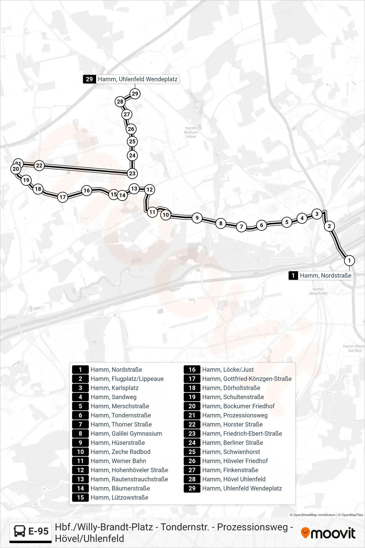
Stops list (E-95 - Hamm, Uhlenfeld Wendeplatz)
- Hamm, Nordstraße
- Hamm, Flugplatz/Lippeaue
- Hamm, Karlsplatz
- Hamm, Sandweg
- Hamm, Merschstraße
- Hamm, Tondernstraße
- Hamm, Thorner Straße
- Hamm, Galilei Gymnasium
- Hamm, Hüserstraße
- Hamm, Zeche Radbod
- Hamm, Werner Bahn
- Hamm, Hohenhöveler Straße
- Hamm, Rautenstrauchstraße
- Hamm, Bäumerstraße
- Hamm, Lützowstraße
- Hamm, Löcke/Just
- Hamm, Gottfried-Könzgen-Straße
- Hamm, Dörholtstraße
- Hamm, Schultenstraße
- Hamm, Bockumer Friedhof
- Hamm, Prozessionsweg
- Hamm, Horster Straße
- Hamm, Friedrich-Ebert-Straße
- Hamm, Berliner Straße
- Hamm, Schwienhorst
- Hamm, Höveler Friedhof
- Hamm, Finkenstraße
- Hamm, Hövel Uhlenfeld
- Hamm, Uhlenfeld Wendeplatz