
E GRN Bus Route Map
View the E GRN route map and see all E GRN stops along the route. The map of E GRN shows where the bus travels and the location of each stop, making it easy to understand the entire route at a glance.
Explore Eureka Transit System routes on the map and see where Eureka Transit System bus services operate. Use the E GRN map to find bus stops and see how the E GRN connects different areas along its trip.
All E GRN stops on the map are displayed in route order, helping you follow the E GRN bus from the first stop to the last.
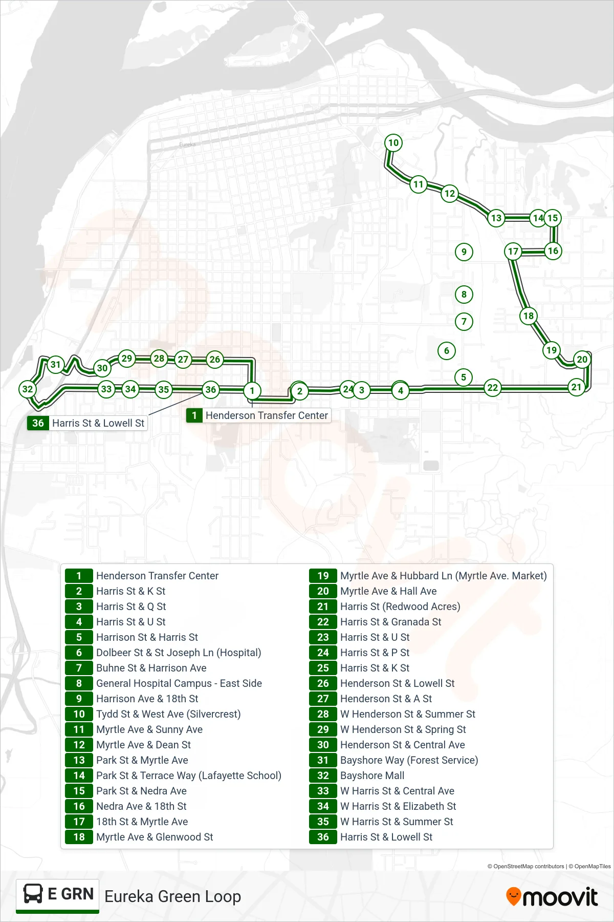
Stops list (E GRN - Eureka Green Loop)
- Henderson Transfer Center
- Harris St & K St
- Harris St & Q St
- Harris St & U St
- Harrison St & Harris St
- Dolbeer St & St Joseph Ln (Hospital)
- Buhne St & Harrison Ave
- General Hospital Campus - East Side
- Harrison Ave & 18th St
- Tydd St & West Ave (Silvercrest)
- Myrtle Ave & Sunny Ave
- Myrtle Ave & Dean St
- Park St & Myrtle Ave
- Park St & Terrace Way (Lafayette School)
- Park St & Nedra Ave
- Nedra Ave & 18th St
- 18th St & Myrtle Ave
- Myrtle Ave & Glenwood St
- Myrtle Ave & Hubbard Ln (Myrtle Ave. Market)
- Myrtle Ave & Hall Ave
- Harris St (Redwood Acres)
- Harris St & Granada St
- Harris St & U St
- Harris St & P St
- Harris St & K St
- Henderson St & Lowell St
- Henderson St & A St
- W Henderson St & Summer St
- W Henderson St & Spring St
- Henderson St & Central Ave
- Bayshore Way (Forest Service)
- Bayshore Mall
- W Harris St & Central Ave
- W Harris St & Elizabeth St
- W Harris St & Summer St
- Harris St & Lowell St