
G Bus Route Map
View the G route map and see all G stops along the route. The map of G shows where the bus travels and the location of each stop, making it easy to understand the entire route at a glance.
Explore Cilia Italia Srl routes on the map and see where Cilia Italia Srl bus services operate. Use the G map to find bus stops and see how the G connects different areas along its trip.
All G stops on the map are displayed in route order, helping you follow the G bus from the first stop to the last.
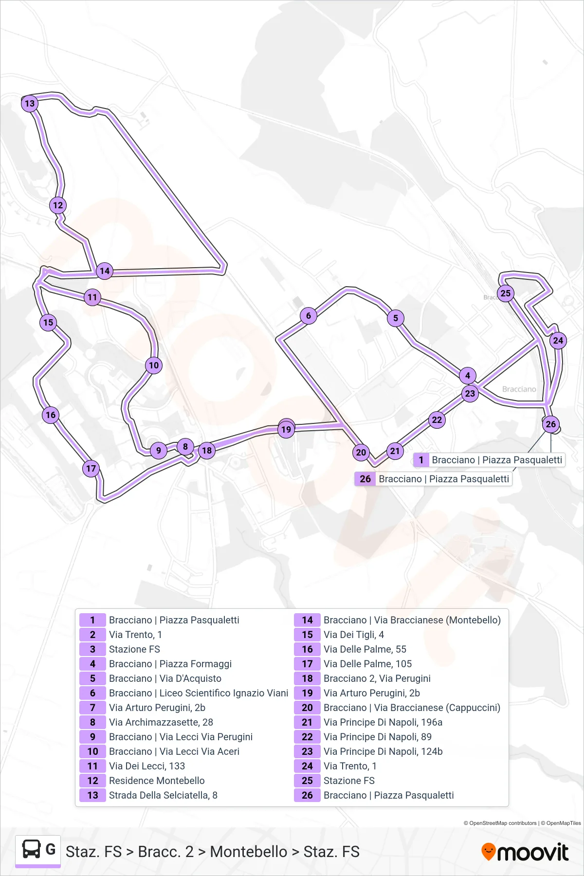
Stops list (G - Station FS > Branch 2 > Montebello > Station FS)
- Bracciano | Pasqualetti Square
- Trento Street, 1
- Railway Station
- Bracciano | Cheese Square
- Bracciano | Via D'Acquisto
- Bracciano | Ignazio Viani Scientific High School
- Arturo Perugini Road, 2b
- Archimazzasette Street, 28
- Bracciano | Lecci Street Perugini Street
- Bracciano | Lecci Street Via Aceri
- Via Dei Lecci, 133
- Montebello Residence
- 8 Selciatella Road
- Bracciano | Braccianese Road (Montebello)
- Tigli Street, 4
- Via Delle Palme, 55
- Palm Street, 105
- Bracciano 2, Perugini Street
- Arturo Perugini Road, 2b
- Bracciano | Braccianese Street (Cappuccini)
- Prince of Naples Road, 196a
- 89 Prince of Naples Street
- Via Principe Di Napoli, 124b
- Trento Street, 1
- Railway Station
- Bracciano | Pasqualetti Square