
G2 Bus Route Map
View the G2 route map and see all G2 stops along the route. The map of G2 shows where the bus travels and the location of each stop, making it easy to understand the entire route at a glance.
Explore Bus Átha Cliath – Dublin Bus routes on the map and see where Bus Átha Cliath – Dublin Bus bus services operate. Use the G2 map to find bus stops and see how the G2 connects different areas along its trip.
All G2 stops on the map are displayed in route order, helping you follow the G2 bus from the first stop to the last.
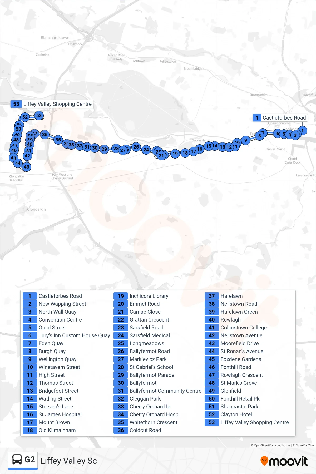
Stops list (G2 - Liffey Valley Sc)
- Castleforbes Road
- New Wapping Street
- North Wall Quay
- Convention Centre
- Guild Street
- Jury's Inn Custom House Quay
- Eden Quay
- Burgh Quay
- Wellington Quay
- Winetavern Street
- High Street
- Thomas Street
- Bridgefoot Street
- Watling Street
- Steeven's Lane
- St James Hospital
- Mount Brown
- Old Kilmainham
- Inchicore Library
- Emmet Road
- Camac Close
- Grattan Crescent
- Sarsfield Road
- Sarsfield Medical
- Longmeadows
- Ballyfermot Road
- Markievicz Park
- St Gabriel's School
- Ballyfermot Parade
- Ballyfermot
- Ballyfermot Community Centre
- Cleggan Park
- Cherry Orchard Ie
- Cherry Orchard Hosp
- Whitethorn Crescent
- Coldcut Road
- Harelawn
- Neilstown Road
- Harelawn Green
- Rowlagh
- Collinstown College
- Neilstown Avenue
- Moorefield Drive
- St Ronan's Avenue
- Foxdene Gardens
- Fonthill Road
- Rowlagh Crescent
- St Mark's Grove
- Glenfield
- Fonthill Retail Pk
- Shancastle Park
- Clayton Hotel
- Liffey Valley Shopping Centre