
ICL Rail Route Map
View the ICL route map and see all ICL stops along the route. The map of ICL shows where the rail travels and the location of each stop, making it easy to understand the entire route at a glance.
Explore DSB routes on the map and see where DSB rail services operate. Use the ICL map to find rail stations and see how the ICL connects different areas along its trip.
All ICL stops on the map are displayed in route order, helping you follow the ICL rail from the first station to the last.
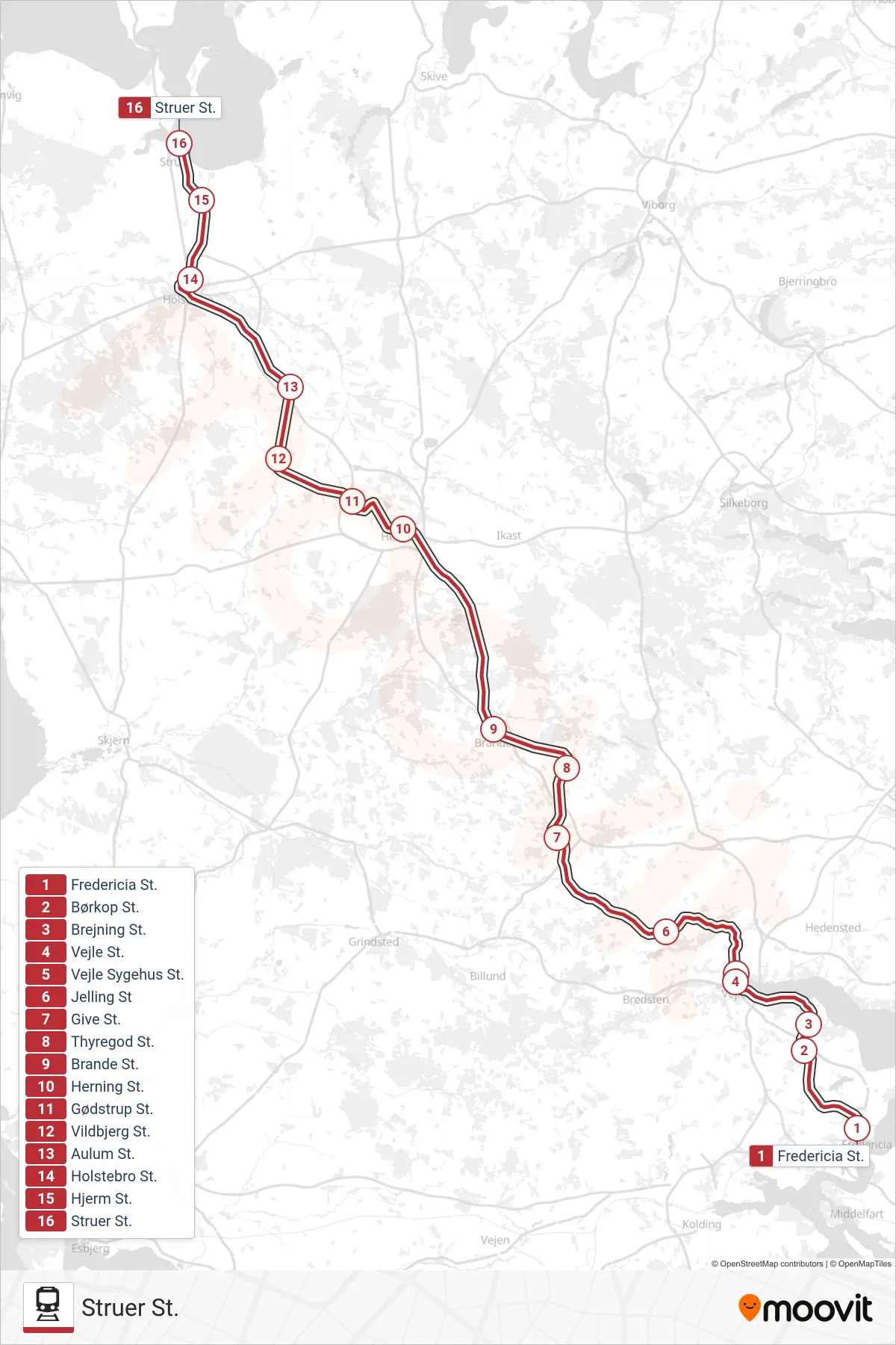
Stops list (ICL - Struer St.)
- Fredericia St.
- Børkop St.
- Brejning St.
- Vejle St.
- Vejle Sygehus St.
- Jelling St
- Give St.
- Thyregod St.
- Brande St.
- Herning St.
- Gødstrup St.
- Vildbjerg St.
- Aulum St.
- Holstebro St.
- Hjerm St.
- Struer St.
Change direction
- Route Map - ICL - Hobro St.
- Route Map - ICL - Aalborg Lufthavn St.
- Route Map - ICL - København H
- Route Map - ICL - CPH Lufthavn
- Route Map - ICL - Helsingør St.
- Route Map - ICL - Aalborg St. Og Aalborg Lufthavn St.
- Route Map - ICL - Aarhus H
- Route Map - ICL - Aalborg St.
- Route Map - ICL - Sønderborg St.
- Route Map - ICL - Fredericia St.
- Route Map - ICL - Østerport St.
- Route Map - ICL - Langå St.
- Route Map - ICL - Padborg St.