
J Bus Route Map
View the J route map and see all J stops along the route. The map of J shows where the bus travels and the location of each stop, making it easy to understand the entire route at a glance.
Explore WestCat (Western Contra Costa) routes on the map and see where WestCat (Western Contra Costa) bus services operate. Use the J map to find bus stops and see how the J connects different areas along its trip.
All J stops on the map are displayed in route order, helping you follow the J bus from the first stop to the last.
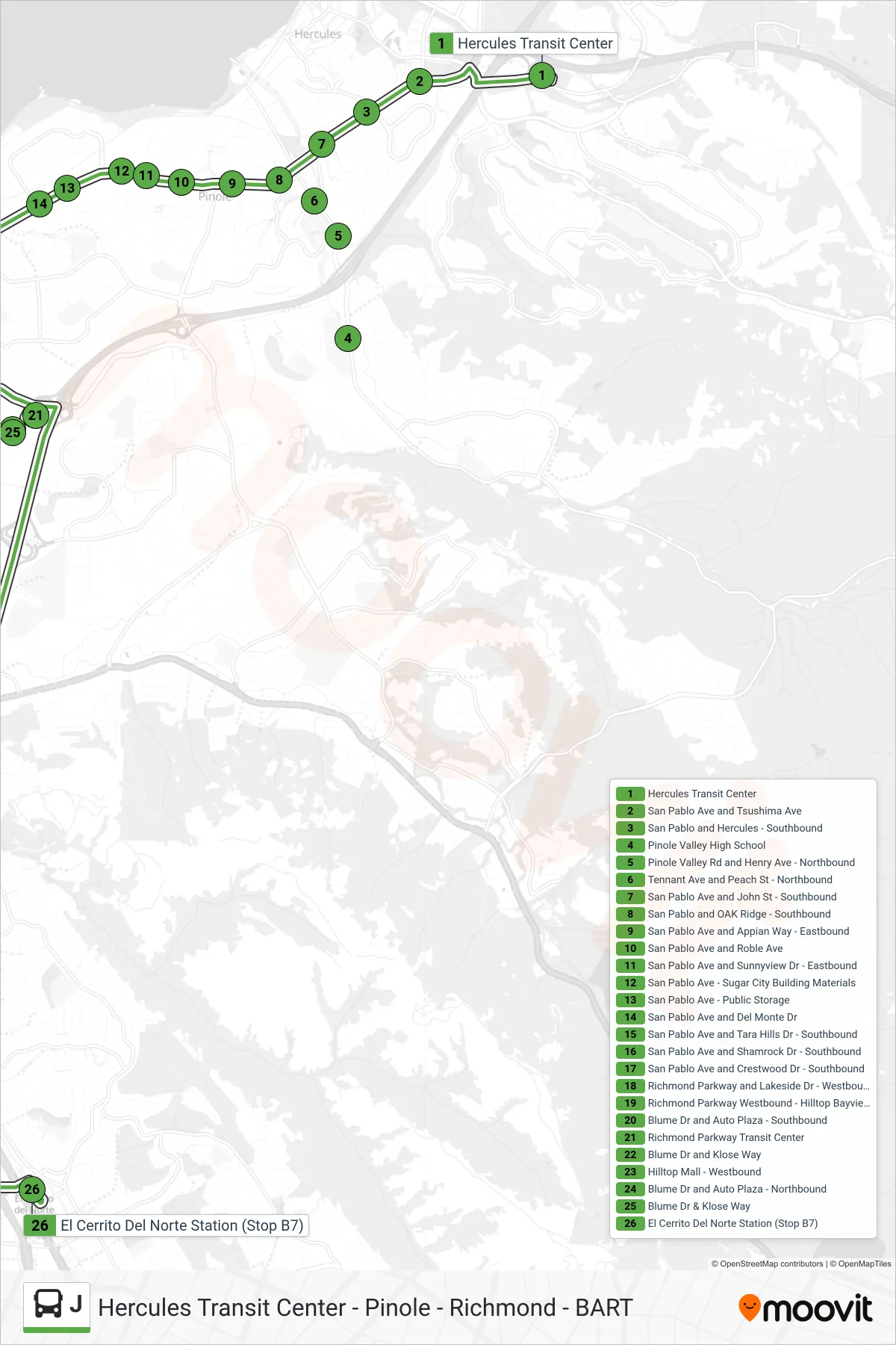
Stops list (J - Jr To BART)
- Hercules Transit Center
- San Pablo Ave and Tsushima Ave
- San Pablo and Hercules - Southbound
- Pinole Valley High School
- Pinole Valley Rd and Henry Ave - Northbound
- Tennant Ave and Peach St - Northbound
- San Pablo Ave and John St - Southbound
- San Pablo and OAK Ridge - Southbound
- San Pablo Ave and Appian Way - Eastbound
- San Pablo Ave and Roble Ave
- San Pablo Ave and Sunnyview Dr - Eastbound
- San Pablo Ave - Sugar City Building Materials
- San Pablo Ave - Public Storage
- San Pablo Ave and Del Monte Dr
- San Pablo Ave and Tara Hills Dr - Southbound
- San Pablo Ave and Shamrock Dr - Southbound
- San Pablo Ave and Crestwood Dr - Southbound
- Richmond Parkway and Lakeside Dr - Westbound
- Richmond Parkway Westbound - Hilltop Bayview
- Blume Dr and Auto Plaza - Southbound
- Richmond Parkway Transit Center
- Blume Dr and Klose Way
- Hilltop Mall - Westbound
- Blume Dr and Auto Plaza - Northbound
- Blume Dr & Klose Way
- El Cerrito Del Norte Station (Stop B7)