
JEEP Bus Route Map
View the JEEP route map and see all JEEP stops along the route. The map of JEEP shows where the bus travels and the location of each stop, making it easy to understand the entire route at a glance.
Explore LTFRB routes on the map and see where LTFRB bus services operate. Use the JEEP map to find bus stops and see how the JEEP connects different areas along its trip.
All JEEP stops on the map are displayed in route order, helping you follow the JEEP bus from the first stop to the last.
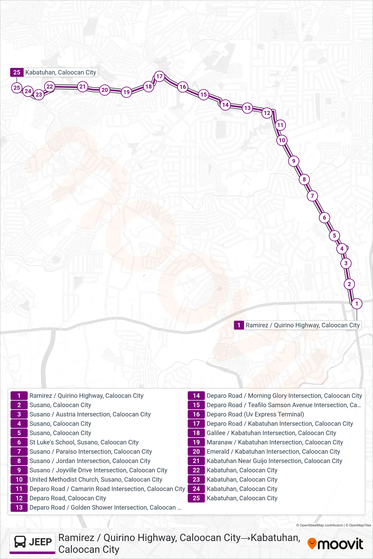
Stops list (JEEP - Ramirez / Quirino Highway, Caloocan City→Kabatuhan, Caloocan City)
- Ramirez / Quirino Highway, Caloocan City
- Susano, Caloocan City
- Susano / Austria Intersection, Caloocan City
- Susano, Caloocan City
- Susano, Caloocan City
- St Luke's School, Susano, Caloocan City
- Susano / Paraiso Intersection, Caloocan City
- Susano / Jordan Intersection, Caloocan City
- Susano / Joyville Drive Intersection, Caloocan City
- United Methodist Church, Susano, Caloocan City
- Deparo Road / Camarin Road Intersection, Caloocan City
- Deparo Road, Caloocan City
- Deparo Road / Golden Shower Intersection, Caloocan City
- Deparo Road / Morning Glory Intersection, Caloocan City
- Deparo Road / Teafilo Samson Avenue Intersection, Caloocan City
- Deparo Road (Uv Express Terminal)
- Deparo Road / Kabatuhan Intersection, Caloocan City
- Galilee / Kabatuhan Intersection, Caloocan City
- Maranaw / Kabatuhan Intersection, Caloocan City
- Emerald / Kabatuhan Intersection, Caloocan City
- Kabatuhan Near Guijo Intersection, Caloocan City
- Kabatuhan, Caloocan City
- Kabatuhan, Caloocan City
- Kabatuhan, Caloocan City
- Kabatuhan, Caloocan City