
L Light Rail Route Map
View the L route map and see all L stops along the route. The map of L shows where the light rail travels and the location of each stop, making it easy to understand the entire route at a glance.
Explore Odense Letbane routes on the map and see where Odense Letbane light rail services operate. Use the L map to find light rail stations and see how the L connects different areas along its trip.
All L stops on the map are displayed in route order, helping you follow the L light rail from the first station to the last.
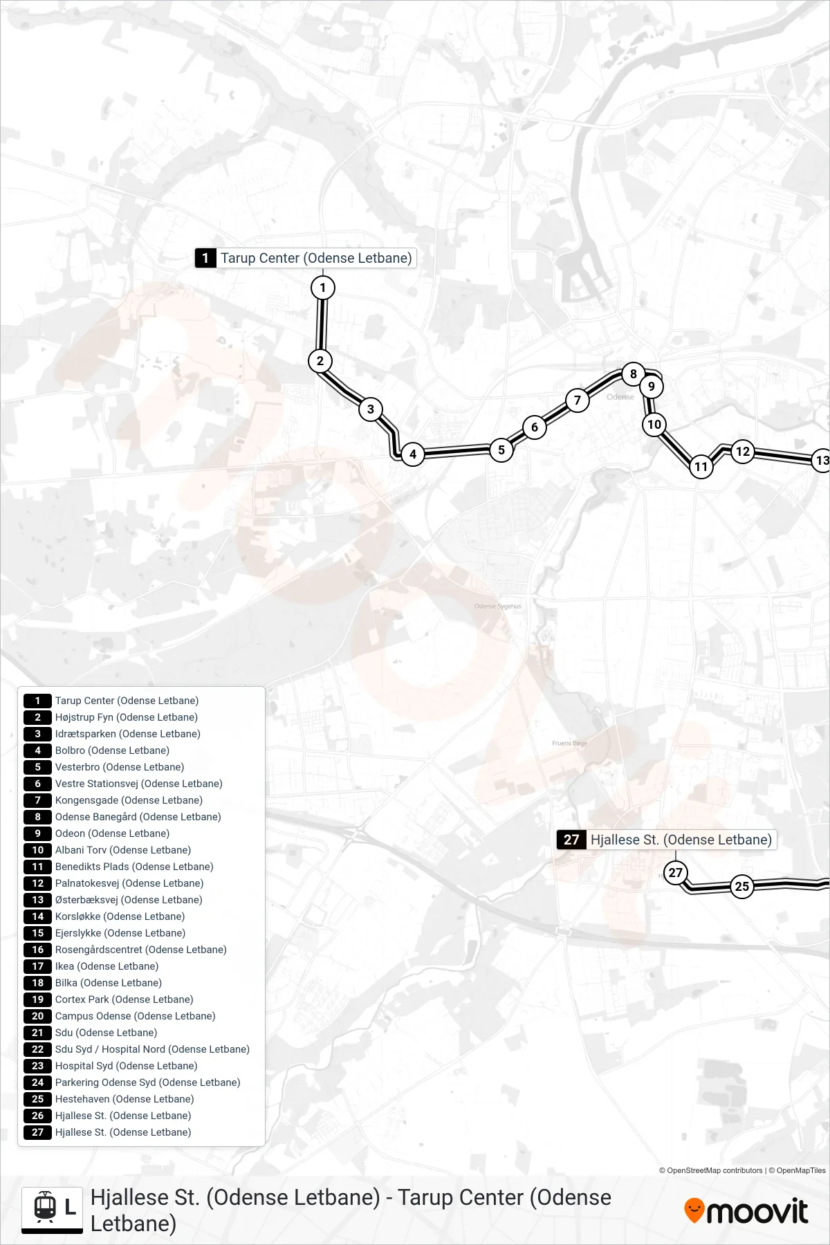
Stops list (L - Hjallese St.)
- Tarup Center (Odense Letbane)
- Højstrup Fyn (Odense Letbane)
- Idrætsparken (Odense Letbane)
- Bolbro (Odense Letbane)
- Vesterbro (Odense Letbane)
- Vestre Stationsvej (Odense Letbane)
- Kongensgade (Odense Letbane)
- Odense Banegård (Odense Letbane)
- Odeon (Odense Letbane)
- Albani Torv (Odense Letbane)
- Benedikts Plads (Odense Letbane)
- Palnatokesvej (Odense Letbane)
- Østerbæksvej (Odense Letbane)
- Korsløkke (Odense Letbane)
- Ejerslykke (Odense Letbane)
- Rosengårdscentret (Odense Letbane)
- Ikea (Odense Letbane)
- Bilka (Odense Letbane)
- Cortex Park (Odense Letbane)
- Campus Odense (Odense Letbane)
- Sdu (Odense Letbane)
- Sdu Syd / Hospital Nord (Odense Letbane)
- Hospital Syd (Odense Letbane)
- Parkering Odense Syd (Odense Letbane)
- Hestehaven (Odense Letbane)
- Hjallese St. (Odense Letbane)
- Hjallese St. (Odense Letbane)