
L Bus Route Map
View the L route map and see all L stops along the route. The map of L shows where the bus travels and the location of each stop, making it easy to understand the entire route at a glance.
Explore Metropolitano routes on the map and see where Metropolitano bus services operate. Use the L map to find bus stops and see how the L connects different areas along its trip.
All L stops on the map are displayed in route order, helping you follow the L bus from the first stop to the last.
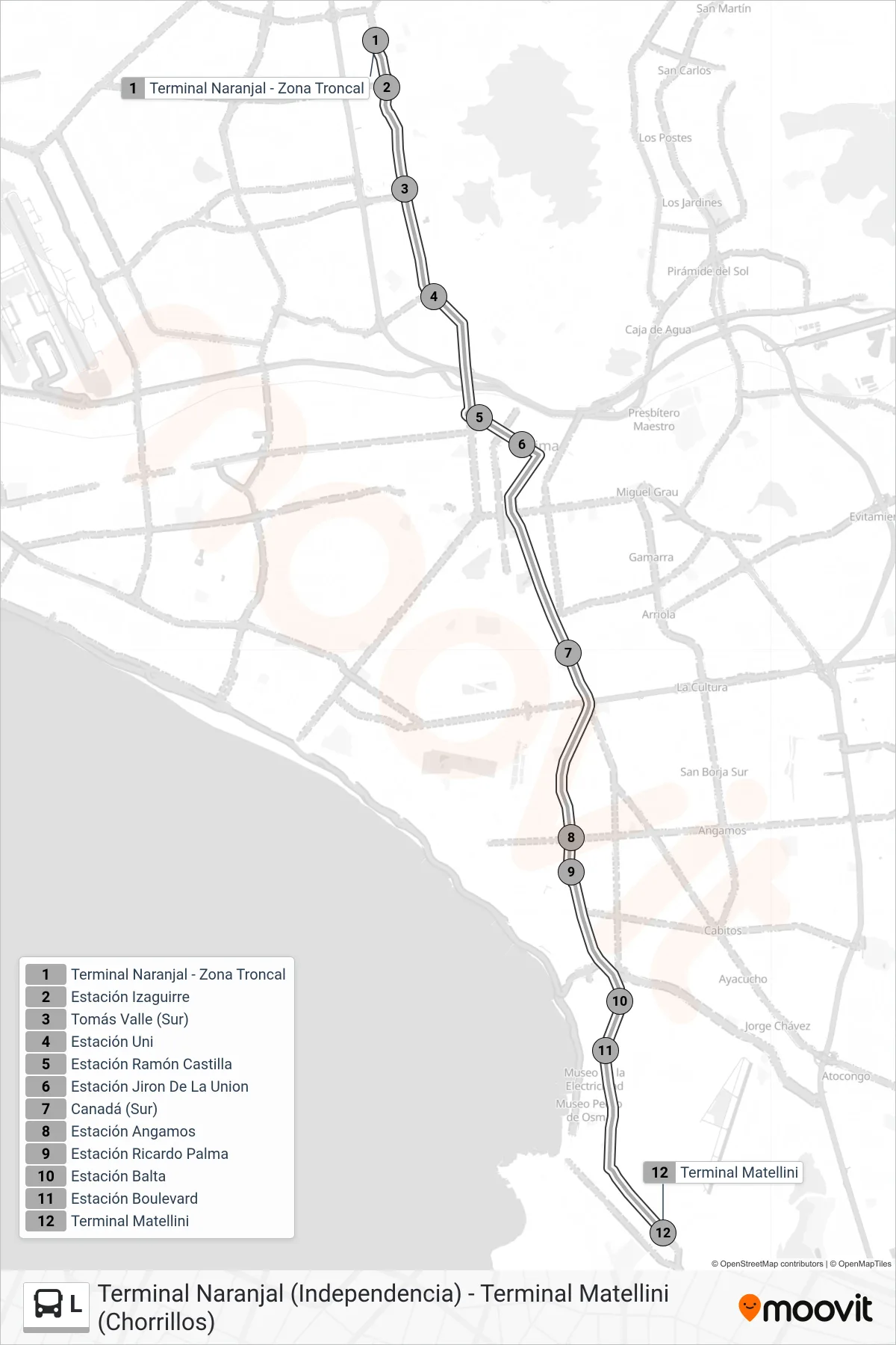

Stops list (L - Terminal Naranjal (Independencia) - Terminal Matellini (Chorrillos))
- Terminal Naranjal - Zona Troncal
- Estación Izaguirre
- Tomás Valle (Sur)
- Estación Uni
- Estación Ramón Castilla
- Estación Jiron De La Union
- Canadá (Sur)
- Estación Angamos
- Estación Ricardo Palma
- Estación Balta
- Estación Boulevard
- Terminal Matellini