
LINK Bus Route Map
View the LINK route map and see all LINK stops along the route. The map of LINK shows where the bus travels and the location of each stop, making it easy to understand the entire route at a glance.
Explore Addison County Transit Resources routes on the map and see where Addison County Transit Resources bus services operate. Use the LINK map to find bus stops and see how the LINK connects different areas along its trip.
All LINK stops on the map are displayed in route order, helping you follow the LINK bus from the first stop to the last.
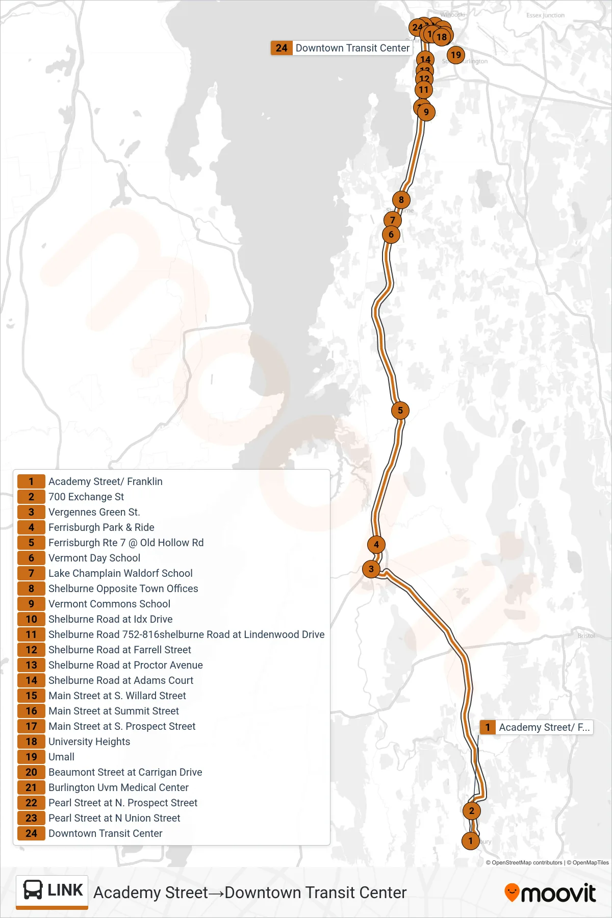
Stops list (LINK - Academy Street→Downtown Transit Center)
- Academy Street/ Franklin
- 700 Exchange St
- Vergennes Green St.
- Ferrisburgh Park & Ride
- Ferrisburgh Rte 7 @ Old Hollow Rd
- Vermont Day School
- Lake Champlain Waldorf School
- Shelburne Opposite Town Offices
- Vermont Commons School
- Shelburne Road at Idx Drive
- Shelburne Road 752-816shelburne Road at Lindenwood Drive
- Shelburne Road at Farrell Street
- Shelburne Road at Proctor Avenue
- Shelburne Road at Adams Court
- Main Street at S. Willard Street
- Main Street at Summit Street
- Main Street at S. Prospect Street
- University Heights
- Umall
- Beaumont Street at Carrigan Drive
- Burlington Uvm Medical Center
- Pearl Street at N. Prospect Street
- Pearl Street at N Union Street
- Downtown Transit Center