
M Light Rail Route Map
View the M route map and see all M stops along the route. The map of M shows where the light rail travels and the location of each stop, making it easy to understand the entire route at a glance.
Explore Muni Metro routes on the map and see where Muni Metro light rail services operate. Use the M map to find light rail stations and see how the M connects different areas along its trip.
All M stops on the map are displayed in route order, helping you follow the M light rail from the first station to the last.
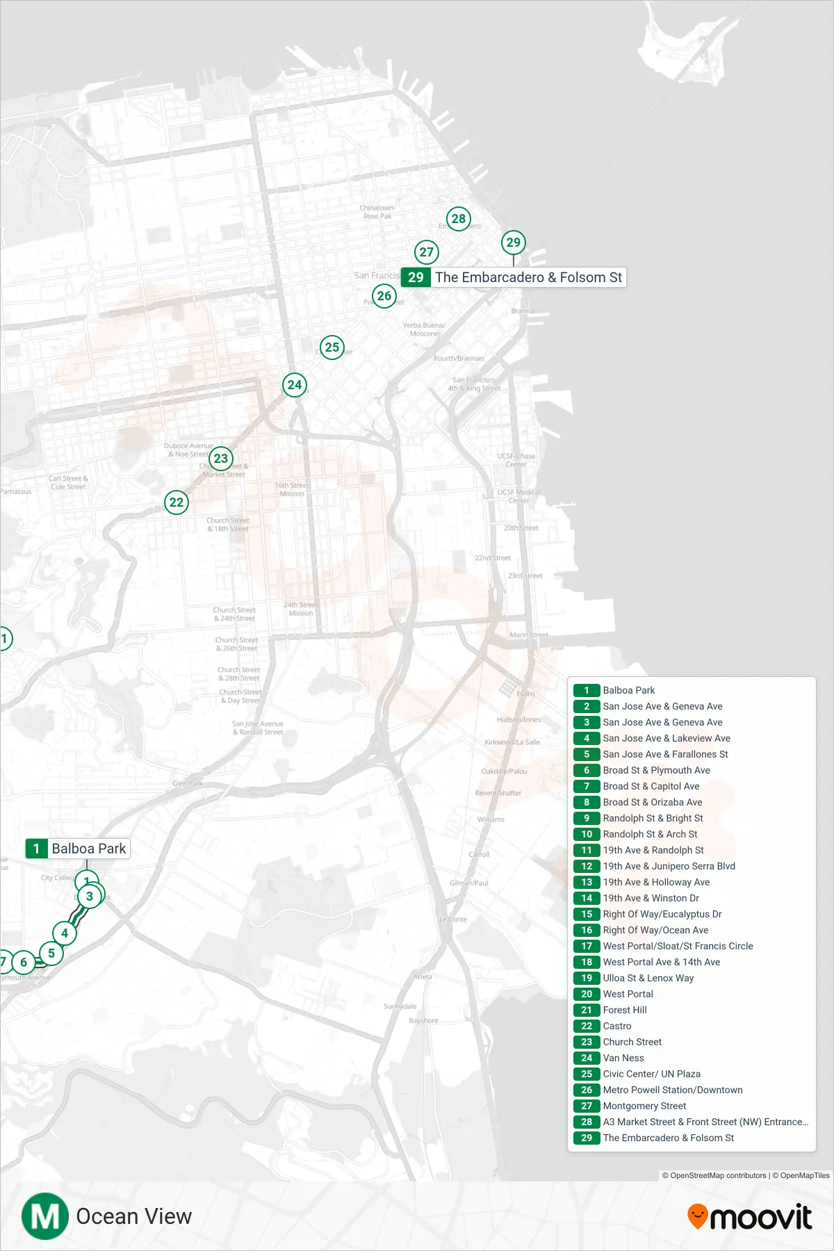
Stops list (M - Embarcadero Station)
- Balboa Park
- San Jose Ave & Geneva Ave
- San Jose Ave & Geneva Ave
- San Jose Ave & Lakeview Ave
- San Jose Ave & Farallones St
- Broad St & Plymouth Ave
- Broad St & Capitol Ave
- Broad St & Orizaba Ave
- Randolph St & Bright St
- Randolph St & Arch St
- 19th Ave & Randolph St
- 19th Ave & Junipero Serra Blvd
- 19th Ave & Holloway Ave
- 19th Ave & Winston Dr
- Right Of Way/Eucalyptus Dr
- Right Of Way/Ocean Ave
- West Portal/Sloat/St Francis Circle
- West Portal Ave & 14th Ave
- Ulloa St & Lenox Way
- West Portal
- Forest Hill
- Castro
- Church Street
- Van Ness
- Civic Center/ UN Plaza
- Metro Powell Station/Downtown
- Montgomery Street
- A3 Market Street & Front Street (NW) Entrance / Exit
- The Embarcadero & Folsom St