
M1 Metro Route Map
View the M1 route map and see all M1 stops along the route. The map of M1 shows where the metro travels and the location of each stop, making it easy to understand the entire route at a glance.
Explore Metroselskabet routes on the map and see where Metroselskabet metro services operate. Use the M1 map to find metro stations and see how the M1 connects different areas along its trip.
All M1 stops on the map are displayed in route order, helping you follow the M1 metro from the first station to the last.
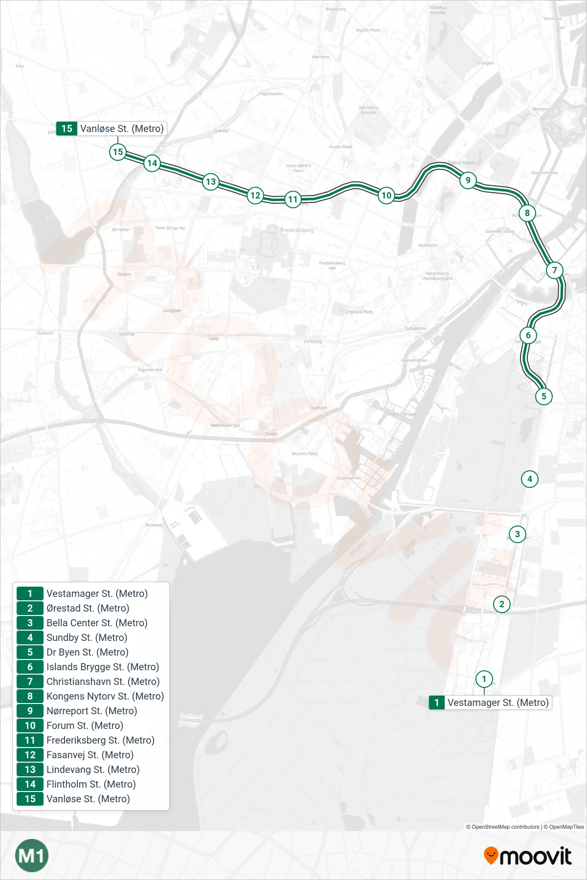
Stops list (M1 - Vanløse St.)
- Vestamager St. (Metro)
- Ørestad St. (Metro)
- Bella Center St. (Metro)
- Sundby St. (Metro)
- Dr Byen St. (Metro)
- Islands Brygge St. (Metro)
- Christianshavn St. (Metro)
- Kongens Nytorv St. (Metro)
- Nørreport St. (Metro)
- Forum St. (Metro)
- Frederiksberg St. (Metro)
- Fasanvej St. (Metro)
- Lindevang St. (Metro)
- Flintholm St. (Metro)
- Vanløse St. (Metro)