
N13 Bus Route Map
View the N13 route map and see all N13 stops along the route. The map of N13 shows where the bus travels and the location of each stop, making it easy to understand the entire route at a glance.
Explore VBB routes on the map and see where VBB bus services operate. Use the N13 map to find bus stops and see how the N13 connects different areas along its trip.
All N13 stops on the map are displayed in route order, helping you follow the N13 bus from the first stop to the last.
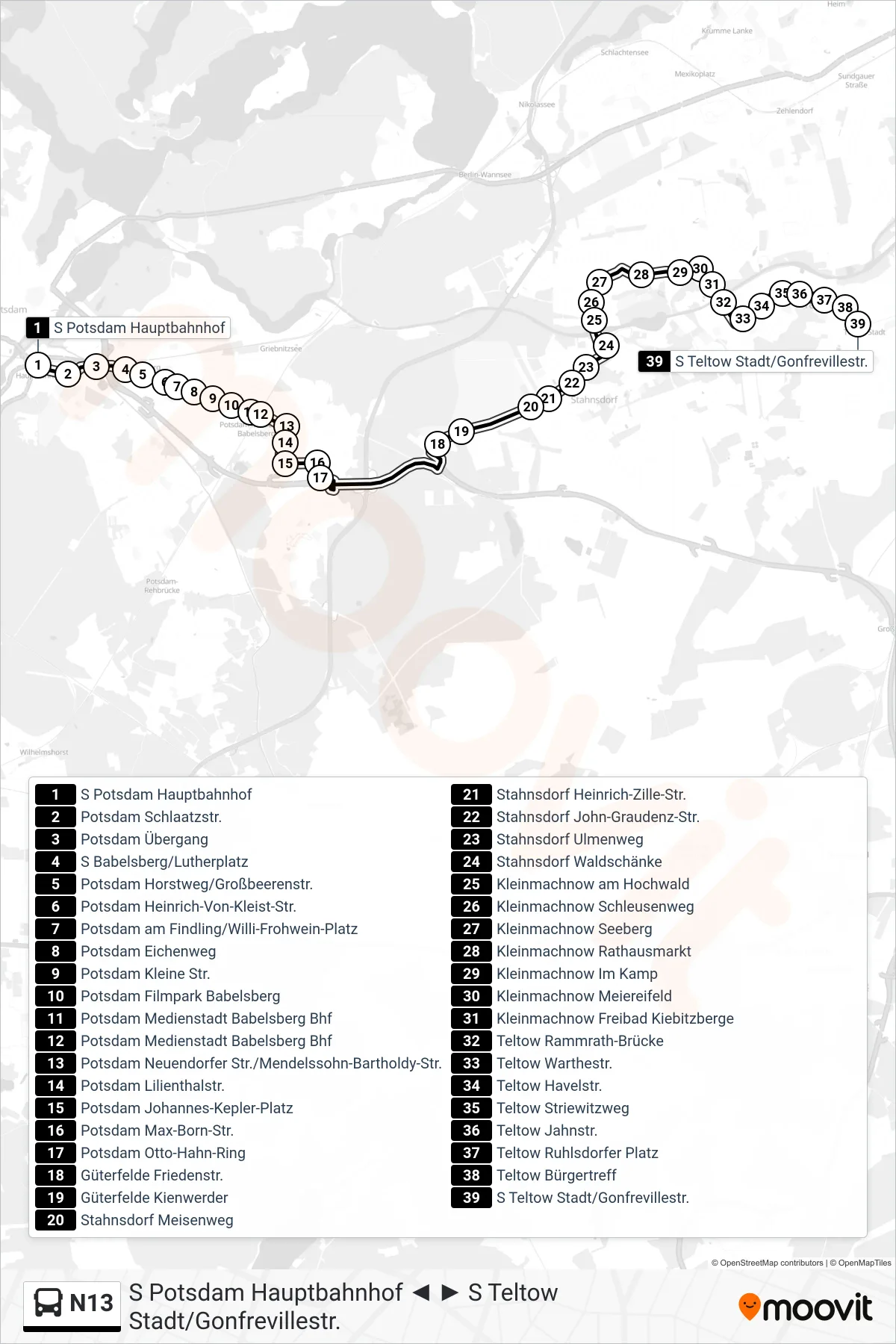
Stops list (N13 - S Teltow Stadt/Gonfrevillestr.)
- S Potsdam Hauptbahnhof
- Potsdam Schlaatzstr.
- Potsdam Übergang
- S Babelsberg/Lutherplatz
- Potsdam Horstweg/Großbeerenstr.
- Potsdam Heinrich-Von-Kleist-Str.
- Potsdam am Findling/Willi-Frohwein-Platz
- Potsdam Eichenweg
- Potsdam Kleine Str.
- Potsdam Filmpark Babelsberg
- Potsdam Medienstadt Babelsberg Bhf
- Potsdam Medienstadt Babelsberg Bhf
- Potsdam Neuendorfer Str./Mendelssohn-Bartholdy-Str.
- Potsdam Lilienthalstr.
- Potsdam Johannes-Kepler-Platz
- Potsdam Max-Born-Str.
- Potsdam Otto-Hahn-Ring
- Güterfelde Friedenstr.
- Güterfelde Kienwerder
- Stahnsdorf Meisenweg
- Stahnsdorf Heinrich-Zille-Str.
- Stahnsdorf John-Graudenz-Str.
- Stahnsdorf Ulmenweg
- Stahnsdorf Waldschänke
- Kleinmachnow am Hochwald
- Kleinmachnow Schleusenweg
- Kleinmachnow Seeberg
- Kleinmachnow Rathausmarkt
- Kleinmachnow Im Kamp
- Kleinmachnow Meiereifeld
- Kleinmachnow Freibad Kiebitzberge
- Teltow Rammrath-Brücke
- Teltow Warthestr.
- Teltow Havelstr.
- Teltow Striewitzweg
- Teltow Jahnstr.
- Teltow Ruhlsdorfer Platz
- Teltow Bürgertreff
- S Teltow Stadt/Gonfrevillestr.